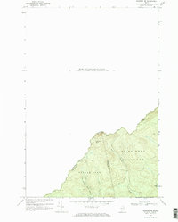
1970 Map of Skinner NE
USGS Topo · Published 1973About this map
Canada United States international boundaries define this 1970 landscape, where the rugged topography of Somerset County meets Frontenac County, Quebec. The map details the unorganized territories of Gorham Gore and Forsythe, a wilderness dominated by the heights of Sixtynine Mtn. This high-altitude drainage system is characterized by the West Branch Gulf Stream and the East Branch converging into the Gulf Stream, providing a clear record of the watershed before significant modern development. The network of a Jeep Trail and remote water bodies like Turner Pond illustrate the region's historical use for timber access and backcountry navigation along the Quebec Maine border.
Find a feature on this map
13 named features on this map. Tap any name to fly to it.
Don’t see what you’re looking for? This feature index may not catch every label — zoom into the map to look around manually.
Map Details
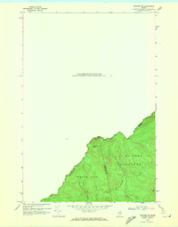
Editions of this 1970 Skinner NE Map
2 editions found
Other maps of this area

1923 · Attean
USGS Topo · 1:62,500

1925 · Attean
USGS Topo · 1:62,500

1927 · Sandy Bay
USGS Topo · 1:48,000

1928 · Skinner
USGS Topo · 1:48,000

1930 · Sandy Bay
USGS Topo · 1:62,500

1931 · Skinner
USGS Topo · 1:62,500

1944 · Sandy Bay
USGS Topo · 1:62,500

1949 · Jackman
USGS Topo · 1:250,000

1950 · Attean
USGS Topo · 1:50,000

1963 · Jackman
USGS Topo · 1:250,000