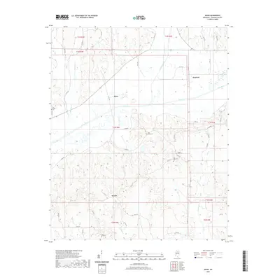
2020 Map of Skuna
USGS Topo · Published 2020About this map
The Skuna River defines the central corridor of this Calhoun County landscape, meandering through a series of north-south valleys. Small rural settlements like Skuna, Shepherd, and Bounds are established near the tributary junctions, representing the persistent agricultural community structure of north-central Mississippi. The terrain is characterized by numerous named waterways, including Persimmon Creek and Big Creek, which feed into the main river channel. Local heritage is concentrated at several hilltop cemetery sites, such as Zion Springs Cem and Mount Tabor Cem, which often serve as the primary remaining landmarks of earlier community centers. The network of county roads, including Co RD 242 and Co RD 314, follows the ridgelines and valley floors, connecting isolated homesteads to the river crossings.
Find a feature on this map
54 named features on this map. Tap any name to fly to it.
Don’t see what you’re looking for? This feature index may not catch every label — zoom into the map to look around manually.
Map Details
Editions of this 2020 Skuna Map
This is the sole edition of this map. No revisions or reprints were ever made.
Other maps of this area

1953 · West Point
USGS Topo · 1:250,000

1954 · Pittsboro
USGS Topo · 1:62,500

1954 · Water Valley
USGS Topo · 1:62,500

1955 · Water Valley
USGS Topo · 1:62,500

1955 · Coffeeville
USGS Topo · 1:62,500

1956 · Tupelo
USGS Topo · 1:250,000

1958 · Tupelo
USGS Topo · 1:250,000

1958 · West Point
USGS Topo · 1:250,000

1963 · West Point
USGS Topo · 1:250,000
1972 · Banner
USGS Topo · 1:24,000