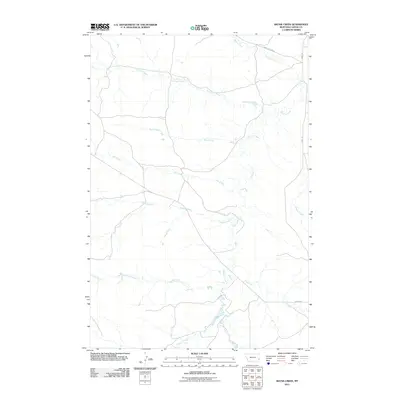
2011 Map of Skunk Creek
USGS Topo · Published 2011About this map
O'Fallon Creek winds through this sparsely populated stretch of Carter County, Montana, serving as the central drainage for a network of seasonal waterways including Skunk Creek, Antelope Creek, and Hay Creek. The landscape is defined by its wide drainage basins and a limited network of section-line roads, such as Ismay Rd and the curiously named Labree Cutacross. These routes likely followed early paths between distant ranching operations in a region where water sources dictated the movement of livestock and travelers alike.
Find a feature on this map
13 named features on this map. Tap any name to fly to it.
Don’t see what you’re looking for? This feature index may not catch every label — zoom into the map to look around manually.
Map Details
Editions of this 2011 Skunk Creek Map
This is the sole edition of this map. No revisions or reprints were ever made.
Other maps of this area

1953 · Miles City
USGS Topo · 1:250,000

1954 · Ekalaka
USGS Topo · 1:250,000

1956 · Ekalaka
USGS Topo · 1:250,000

1957 · Miles City
USGS Topo · 1:250,000

1958 · Miles City
USGS Topo · 1:250,000

1958 · Ekalaka
USGS Topo · 1:250,000

1965 · Ekalaka
USGS Topo · 1:250,000

1979 · Blacktail Creek NW
USGS Topo · 1:24,000

1979 · Board Corral Creek
USGS Topo · 1:24,000

1979 · Beaver Flats North
USGS Topo · 1:24,000