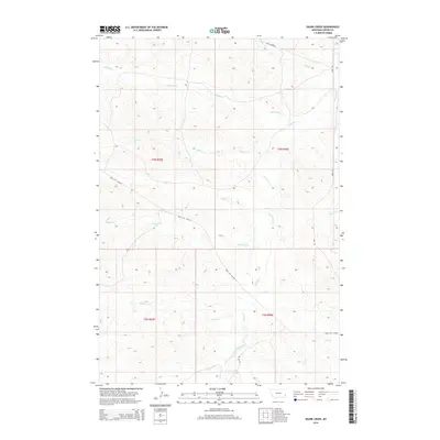
2014 Map of Skunk Creek
USGS Topo · Published 2014About this map
O'Fallon Creek and its many seasonal tributaries define the drainage patterns of this corner of Carter County, where a complex network of intermittent streams carves through the high plains. The landscape is marked by the presence of the Miles City Cutoff, a prominent local route that traverses the quadrangle diagonally, connecting the drainage basins of Antelope Cr and Skunk Cr. This 2014 survey reveals a territory primarily organized by the Public Land Survey System, with few permanent structures but a dense web of named watercourses such as Dugout Cr, Hay Cr, and Lily Cr. The nomenclature of the roads, including Ismay-Maic Rd and Tea Cup Rd, hints at the ranching history and local geography that has long sustained this rural Montana region.
Find a feature on this map
19 named features on this map. Tap any name to fly to it.
Don’t see what you’re looking for? This feature index may not catch every label — zoom into the map to look around manually.
Map Details
Editions of this 2014 Skunk Creek Map
This is the sole edition of this map. No revisions or reprints were ever made.
Other maps of this area

1953 · Miles City
USGS Topo · 1:250,000

1954 · Ekalaka
USGS Topo · 1:250,000

1956 · Ekalaka
USGS Topo · 1:250,000

1957 · Miles City
USGS Topo · 1:250,000

1958 · Miles City
USGS Topo · 1:250,000

1958 · Ekalaka
USGS Topo · 1:250,000

1965 · Ekalaka
USGS Topo · 1:250,000

1979 · Blacktail Creek NW
USGS Topo · 1:24,000

1979 · Board Corral Creek
USGS Topo · 1:24,000

1979 · Beaver Flats North
USGS Topo · 1:24,000