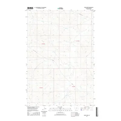
2017 Map of Skunk Creek
USGS Topo · Published 2017About this map
O'Fallon Creek and its seasonal tributaries define the drainage patterns of this corner of Carter County, Montana. This high-plains landscape is networked by a system of historic trans-county routes including the Mizpah Rd and the Miles City Cutoff, which connect the scattered rangelands and townships beyond the quadrangle's borders. These roads follow the natural contours of the land, navigating between the drainages of Skunk Cr and Antelope Cr. The map's detailed topography reveals the complex network of draws and breaks typical of this region, where intermittent watercourses like Dugout Cr and Ranch Cr have carved the terrain. The presence of named tracks like the Labree Cutacross and Ismay Rd highlights the importance of these thoroughfares for regional travel across the sparsely populated prairies of southeastern Montana.
Find a feature on this map
19 named features on this map. Tap any name to fly to it.
Don’t see what you’re looking for? This feature index may not catch every label — zoom into the map to look around manually.
Map Details
Editions of this 2017 Skunk Creek Map
This is the sole edition of this map. No revisions or reprints were ever made.
Other maps of this area

1953 · Miles City
USGS Topo · 1:250,000

1954 · Ekalaka
USGS Topo · 1:250,000

1956 · Ekalaka
USGS Topo · 1:250,000

1957 · Miles City
USGS Topo · 1:250,000

1958 · Miles City
USGS Topo · 1:250,000

1958 · Ekalaka
USGS Topo · 1:250,000

1965 · Ekalaka
USGS Topo · 1:250,000

1979 · Blacktail Creek NW
USGS Topo · 1:24,000

1979 · Board Corral Creek
USGS Topo · 1:24,000

1979 · Beaver Flats North
USGS Topo · 1:24,000