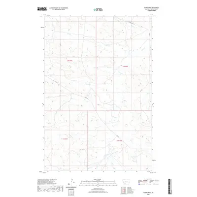
2020 Map of Skunk Creek
USGS Topo · Published 2020About this map
O'fallon Creek and its many tributaries, including Skunk Cr and Antelope Cr, define the drainage patterns of this southeastern Montana landscape. This territory in Carter County is marked by a network of long-distance routes that follow the natural topography, such as the Miles City Cutoff and Mizpah Rd. These roads reflect the historical transit needs of a region focused on ranching and open-range movement between isolated hubs.
Find a feature on this map
20 named features on this map. Tap any name to fly to it.
Don’t see what you’re looking for? This feature index may not catch every label — zoom into the map to look around manually.
Map Details
Editions of this 2020 Skunk Creek Map
This is the sole edition of this map. No revisions or reprints were ever made.
Other maps of this area

1953 · Miles City
USGS Topo · 1:250,000

1954 · Ekalaka
USGS Topo · 1:250,000

1956 · Ekalaka
USGS Topo · 1:250,000

1957 · Miles City
USGS Topo · 1:250,000

1958 · Miles City
USGS Topo · 1:250,000

1958 · Ekalaka
USGS Topo · 1:250,000

1965 · Ekalaka
USGS Topo · 1:250,000

1979 · Blacktail Creek NW
USGS Topo · 1:24,000

1979 · Board Corral Creek
USGS Topo · 1:24,000

1979 · Beaver Flats North
USGS Topo · 1:24,000