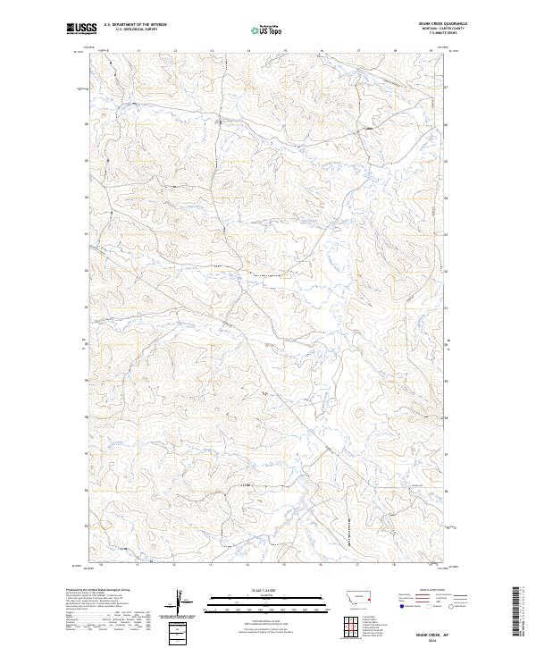
2024 Map of Skunk Creek
USGS Topo · Published 2024About this map
Skunk Creek and the meandering O'Fallon Creek define the drainage patterns of this corner of Carter County, Montana. The landscape is marked by a network of ranch-to-market routes and historic thoroughfares that reflect the area's long-standing reliance on overland transport across open range. Notable transit lines like the Miles City Cutoff and the Labree Cutacross traverse the terrain, alongside smaller local roads such as Mizpah Rd and Ismay Rd. The map reveals a complex system of seasonal watercourses including Antelope Creek, Lily Creek, and Alkali Creek, which have shaped the local land use and boundary lines of Townships 3 and 4 North. This contemporary survey preserves the names of these essential water sources and the established tracks that continue to connect the remote homesteads and ranch lands of eastern Montana.
Find a feature on this map
18 named features on this map. Tap any name to fly to it.
Don’t see what you’re looking for? This feature index may not catch every label — zoom into the map to look around manually.
Map Details
Editions of this 2024 Skunk Creek Map
This is the sole edition of this map. No revisions or reprints were ever made.
Other maps of this area

1953 · Miles City
USGS Topo · 1:250,000

1954 · Ekalaka
USGS Topo · 1:250,000

1956 · Ekalaka
USGS Topo · 1:250,000

1957 · Miles City
USGS Topo · 1:250,000

1958 · Miles City
USGS Topo · 1:250,000

1958 · Ekalaka
USGS Topo · 1:250,000

1965 · Ekalaka
USGS Topo · 1:250,000

1979 · Blacktail Creek NW
USGS Topo · 1:24,000

1979 · Board Corral Creek
USGS Topo · 1:24,000

1979 · Beaver Flats North
USGS Topo · 1:24,000