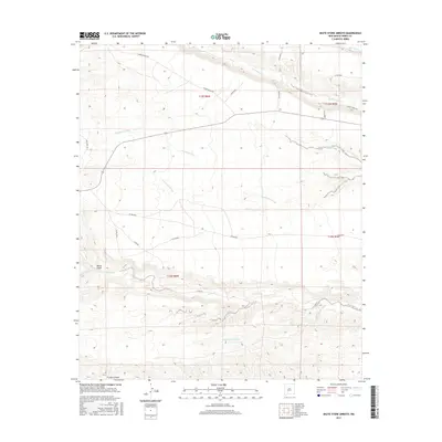
2017 Map of Skute Stone Arroyo
USGS Topo · Published 2017About this map
Skute Stone Arroyo and the surrounding high desert drainages define this portion of Sierra County, where water is the primary architect of the landscape. The map details a network of seasonal watercourses including Las Animas Cr, Greenhorn Arroyo, and Greyback Arroyo as they carve paths through the arid terrain. These features illustrate the natural watershed patterns of the region, where topographical relief is punctuated by deep-cut landforms like Wicks Gulch and Trujillo Canyon at the southwestern edge.
Find a feature on this map
26 named features on this map. Tap any name to fly to it.
Don’t see what you’re looking for? This feature index may not catch every label — zoom into the map to look around manually.
Map Details
Editions of this 2017 Skute Stone Arroyo Map
This is the sole edition of this map. No revisions or reprints were ever made.
Other maps of this area

1935 · Hillsboro
USGS Topo · 1:48,000

1940 · Hillsboro
USGS Topo · 1:62,500

1954 · Tularosa
USGS Topo · 1:250,000

1955 · Las Cruces
USGS Topo · 1:250,000

1958 · Las Cruces
USGS Topo · 1:250,000

1958 · Tularosa
USGS Topo · 1:250,000

1961 · Skute Stone Arroyo
USGS Topo · 1:24,000

1961 · Saladone Tank
USGS Topo · 1:24,000

1961 · Caballo
USGS Topo · 1:24,000

1961 · Clark Spring Canyon
USGS Topo · 1:24,000