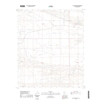
2023 Map of Skute Stone Arroyo
USGS Topo · Published 2023About this map
Las Animas Creek and Percha Creek carve significant paths across this Sierra County landscape, defining the local drainage patterns and accessibility of the region. The map reveals a network of rural routes and ranching infrastructure, notably Ladder Ranch Rd and Animas Creek Rd, which provide access to the various arroyos and canyons. The terrain is characterized by numerous dry washes and geological features including Greyback Arroyo, Greenhorn Arroyo, and the namesake Skute Stone Arroyo. To the southwest, Trujillo Canyon and Wicks Gulch further illustrate the complex topography. This survey provides a modern record of land divisions, highlighting townships like t15s r6w and the surrounding ranching roads like Gold Dust Rd and Clark Rd that link these remote canyons.
Find a feature on this map
23 named features on this map. Tap any name to fly to it.
Don’t see what you’re looking for? This feature index may not catch every label — zoom into the map to look around manually.
Map Details
Editions of this 2023 Skute Stone Arroyo Map
This is the sole edition of this map. No revisions or reprints were ever made.
Other maps of this area

1935 · Hillsboro
USGS Topo · 1:48,000

1940 · Hillsboro
USGS Topo · 1:62,500

1954 · Tularosa
USGS Topo · 1:250,000

1955 · Las Cruces
USGS Topo · 1:250,000

1958 · Las Cruces
USGS Topo · 1:250,000

1958 · Tularosa
USGS Topo · 1:250,000

1961 · Skute Stone Arroyo
USGS Topo · 1:24,000

1961 · Saladone Tank
USGS Topo · 1:24,000

1961 · Caballo
USGS Topo · 1:24,000

1961 · Clark Spring Canyon
USGS Topo · 1:24,000