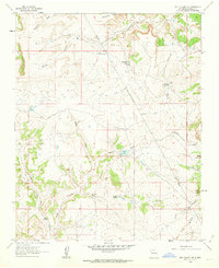
1960 Map of Sky Village NW
USGS Topo · Published 1963About this map
Mesa Bernalillito and Mesa Cortada define the high elevations of this Sandoval County landscape, where the seasonal hydrology of the high desert is mapped through a series of cattle tanks and small lakes. In the early 1960s, these remote water sources such as La Jara Lake, Armijo Lake, and the Emperado Tank were critical infrastructure for the local ranching economy. The map reveals a network of erosional features like Arroyo La Jara and Armijo Draw that channel water toward the southern reaches of the quadrangle. Traceable evidence of early mineral exploration is visible in several prospects located near the northern mesas, while the New Mexico Principal Meridian provides a foundational surveying line through the center of the sheet. Named features like Cerrito Redondo and Marquez Wash anchor the varied terrain of this arid region.
Find a feature on this map
27 named features on this map. Tap any name to fly to it.
Don’t see what you’re looking for? This feature index may not catch every label — zoom into the map to look around manually.
Map Details
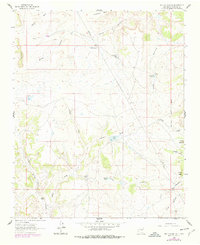
Editions of this 1960 Sky Village NW Map
2 editions found
Other maps of this area

1883 · Mt. Taylor
USGS Topo · 1:250,000

1886 · Mt. Taylor
USGS Topo · 1:250,000

1888 · Bernalillo
USGS Topo · 1:125,000

1889 · Albuquerque
USGS Topo · 1:125,000

1890 · Jemes
USGS Topo · 1:125,000

1892 · Jemes
USGS Topo · 1:125,000

1892 · Mt. Taylor
USGS Topo · 1:250,000

1893 · Albuquerque
USGS Topo · 1:125,000

1899 · Mt. Taylor
USGS Topo · 1:250,000

1939 · San Ysidro
USGS Topo · 1:62,500