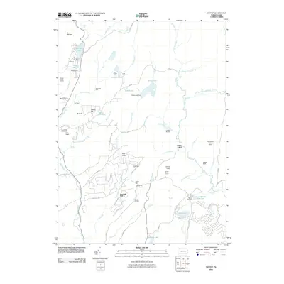
2010 Map of Skytop
USGS Topo · Published 2010About this map
West Mountain and Tar Knob dominate the northwestern reaches of this Pike County landscape, where the headwaters of Goose Pond Run and Brodhead Creek navigate a complex system of glacial lakes and modern impoundments. The settlement at Skytop serves as a focal point for the region's recreational character, marked by its proximity to Mountain Lake and the dramatic Indian Ladder Falls. This 2010 survey illustrates a region heavily shaped by seasonal camps and conservation, from the large acreage of the Pennel Run Natural Area to established institutions like Camp Canadensis and the Easton Anglers facilities.
Find a feature on this map
80 named features on this map. Tap any name to fly to it.
Don’t see what you’re looking for? This feature index may not catch every label — zoom into the map to look around manually.
Map Details
Editions of this 2010 Skytop Map
This is the sole edition of this map. No revisions or reprints were ever made.
Other maps of this area

1919 · Pocono
USGS Topo · 1:62,500

1921 · Pocono
USGS Topo · 1:62,500

1923 · Pocono
USGS Topo · 1:62,500

1924 · Bushkill
USGS Topo · 1:48,000

1928 · Ariel
USGS Topo · 1:62,500

1932 · Ariel
USGS Topo · 1:62,500

1935 · Hawley
USGS Topo · 1:62,500

1938 · Hawley
USGS Topo · 1:62,500

1943 · Bushkill
USGS Topo · 1:62,500

1943 · Pocono
USGS Topo · 1:62,500
Featured Places
- Greene Township, PA
- Middle Smithfield Township, PA
- Barrett Township, PA
- Price Township, PA
- Skytop, Barrett Township