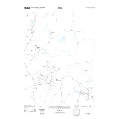
2013 Map of Skytop
USGS Topo · Published 2013About this map
Skytop serves as a primary reference point in this corner of the Pocono Mountains, where the landscape is defined by its numerous lakes and falls. The presence of Mountain Lake and Lower Lake near the settlement, along with Indian Ladder Falls and Leavitt Falls, indicates a region deeply tied to water-based recreation and seasonal retreat. Farther south, the environment transitions toward managed natural spaces like the Pennel Run Natural Area and the Snow Hill Picnic Area, showing a land use pattern focused on conservation and outdoor access.
Find a feature on this map
135 named features on this map. Tap any name to fly to it.
Don’t see what you’re looking for? This feature index may not catch every label — zoom into the map to look around manually.
Map Details
Editions of this 2013 Skytop Map
This is the sole edition of this map. No revisions or reprints were ever made.
Other maps of this area

1919 · Pocono
USGS Topo · 1:62,500

1921 · Pocono
USGS Topo · 1:62,500

1923 · Pocono
USGS Topo · 1:62,500

1924 · Bushkill
USGS Topo · 1:48,000

1928 · Ariel
USGS Topo · 1:62,500

1932 · Ariel
USGS Topo · 1:62,500

1935 · Hawley
USGS Topo · 1:62,500

1938 · Hawley
USGS Topo · 1:62,500

1943 · Bushkill
USGS Topo · 1:62,500

1943 · Pocono
USGS Topo · 1:62,500
Featured Places
- Greene Township, PA
- Middle Smithfield Township, PA
- Barrett Township, PA
- Price Township, PA
- Skytop, Barrett Township