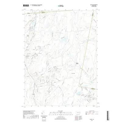
2019 Map of Skytop
USGS Topo · Published 2019About this map
The Pocono Mountains landscape in this area is defined by an intricate network of wetlands and upland ridges, stretching across the Pike and Monroe County line. Higher elevations like West Mtn, East Mtn, and Tar Knob overlook a complex hydrography of glacial features, including Kintz Swamp, Panther Swamp, and Henderson Swamp. Significant leisure and community landmarks are central to the region's character, most notably the Skytop Lodge grounds and the Easton Anglers facility.
Find a feature on this map
125 named features on this map. Tap any name to fly to it.
Don’t see what you’re looking for? This feature index may not catch every label — zoom into the map to look around manually.
Map Details
Editions of this 2019 Skytop Map
This is the sole edition of this map. No revisions or reprints were ever made.
Other maps of this area

1919 · Pocono
USGS Topo · 1:62,500

1921 · Pocono
USGS Topo · 1:62,500

1923 · Pocono
USGS Topo · 1:62,500

1924 · Bushkill
USGS Topo · 1:48,000

1928 · Ariel
USGS Topo · 1:62,500

1932 · Ariel
USGS Topo · 1:62,500

1935 · Hawley
USGS Topo · 1:62,500

1938 · Hawley
USGS Topo · 1:62,500

1943 · Bushkill
USGS Topo · 1:62,500

1943 · Pocono
USGS Topo · 1:62,500
Featured Places
- Greene Township, PA
- Middle Smithfield Township, PA
- Barrett Township, PA
- Price Township, PA
- Skytop, Barrett Township