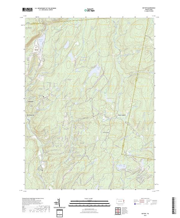
2023 Map of Skytop
USGS Topo · Published 2023About this map
The Pocono Mountains define this landscape, where the plateaus of East Mountain and West Mountain overlook a complex network of glacial wetlands and high-altitude lakes. The settlement of Skytop serves as a focal point near Mountain Lake, while further south, the communities of Canadensis and Mountainhome sit along the drainages of Brodhead Creek. The map reveals an area where wilderness and recreation intersect, notably at the Easton Anglers grounds and the private airfield at Flying Dollar Airport. Large tracts of swamp land, including Henderson Swamp and Kintz Swamp, illustrate the hydrologic character of the plateau. For those researching local families, the presence of Seese Hill Cem and McComas Chapel Cem provides specific points of interest amidst the winding mountain roads like Dutch Hill Rd and Krummel Hill Rd. The terrain is deeply incised by waters such as the Bush Kill and Stony Run, which cut through ridges like Dancing Ridge and the Blue Ridge.
Find a feature on this map
141 named features on this map. Tap any name to fly to it.
Don’t see what you’re looking for? This feature index may not catch every label — zoom into the map to look around manually.
Map Details
Editions of this 2023 Skytop Map
This is the sole edition of this map. No revisions or reprints were ever made.
Other maps of this area

1919 · Pocono
USGS Topo · 1:62,500

1921 · Pocono
USGS Topo · 1:62,500

1923 · Pocono
USGS Topo · 1:62,500

1924 · Bushkill
USGS Topo · 1:48,000

1928 · Ariel
USGS Topo · 1:62,500

1932 · Ariel
USGS Topo · 1:62,500

1935 · Hawley
USGS Topo · 1:62,500

1938 · Hawley
USGS Topo · 1:62,500

1943 · Bushkill
USGS Topo · 1:62,500

1943 · Pocono
USGS Topo · 1:62,500
Featured Places
- Greene Township, PA
- Barrett Township, PA
- Porter Township, PA
- Price Township, PA
- Cresco, Barrett Township