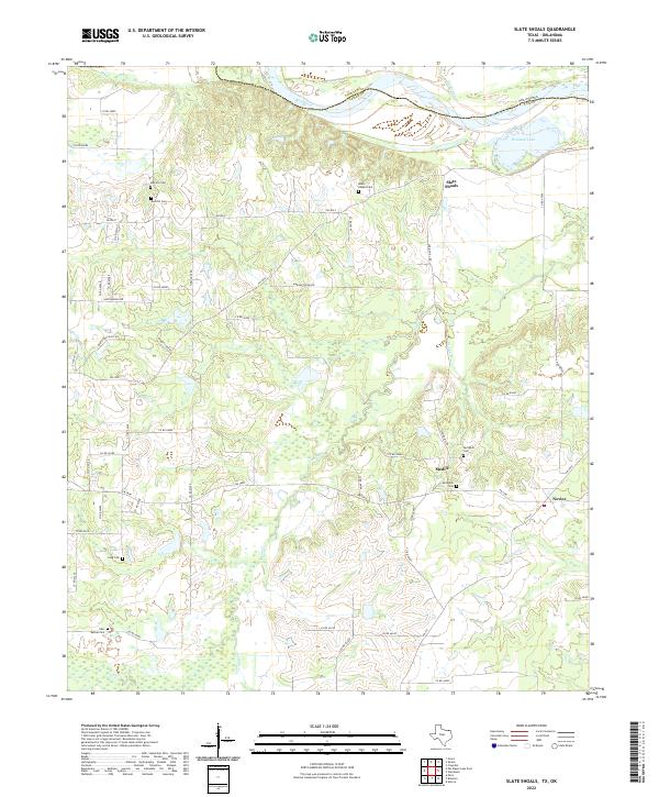
2022 Map of Slate Shoals
USGS Topo · Published 2022About this map
The Red River defines the northern boundary of this Texas landscape, separating Lamar County from Choctaw County, Oklahoma. The settlement of Slate Shoals sits near the river bluffs, while the small communities of Medill and Novice are situated further south along a network of county roads and farm-to-market routes. The terrain is defined by the winding paths of Pine Cr, Moran Br, and Ninemile Cr, which drain into the river basin. Family and community history is anchored by numerous burial grounds including Oak Hill Cem, Red Hill Cem, and Reeds Chapel Cem. To the northeast, the oxbow at Womack Lake remains a prominent hydrological feature. The map reveals a rural economy organized around these waterways and the local road system, including FM 195 and FM 2648, connecting isolated farmsteads and small crossroads settlements.
Find a feature on this map
57 named features on this map. Tap any name to fly to it.
Don’t see what you’re looking for? This feature index may not catch every label — zoom into the map to look around manually.
Map Details
Editions of this 2022 Slate Shoals Map
This is the sole edition of this map. No revisions or reprints were ever made.
Other maps of this area

1903 · Paris
USGS Topo · 1:125,000

1948 · Grant
USGS Topo · 1:62,500

1948 · Paris
USGS Topo · 1:62,500

1949 · Grant
USGS Topo · 1:62,500

1949 · Paris
USGS Topo · 1:62,500

1951 · Slate Shoals
USGS Topo · 1:24,000

1951 · Frogville
USGS Topo · 1:24,000

1951 · Shoals
USGS Topo · 1:24,000

1951 · Woodland
USGS Topo · 1:24,000

1953 · Texarkana
USGS Topo · 1:250,000