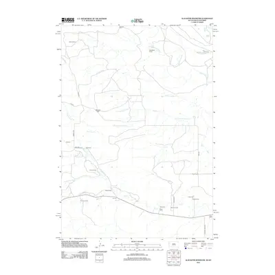
2012 Map of Slaughter Reservoir
USGS Topo · Published 2012About this map
Slaughter Reservoir and the winding course of the Belle Fourche River anchor this 2012 survey of the high plains along the South Dakota and Wyoming border. The landscape is defined by its extensive ranching history, with numerous family-named homesteads like the Heetland Ranch, Wolfe Ranch, and Lightner Ranch scattered across the undulating terrain. The drainage network is particularly intricate here, featuring junctions such as The Forks where multiple branches of Hay Cr converge, including the N Fork Hay Cr and Middle Fork Hay Cr.
Find a feature on this map
34 named features on this map. Tap any name to fly to it.
Don’t see what you’re looking for? This feature index may not catch every label — zoom into the map to look around manually.
Map Details
Editions of this 2012 Slaughter Reservoir Map
This is the sole edition of this map. No revisions or reprints were ever made.
Other maps of this area

1901 · Aladdin
USGS Topo · 1:125,000

1903 · Aladdin
USGS Topo · 1:125,000

1905 · Indian
USGS Topo · 1:62,500

1907 · Belle Fourche
USGS Topo · 1:125,000

1907 · Redwater
USGS Topo · 1:62,500

1953 · Rapid City
USGS Topo · 1:250,000

1954 · The Forks
USGS Topo · 1:24,000

1954 · Gillette
USGS Topo · 1:250,000

1955 · Gillette
USGS Topo · 1:250,000

1957 · Rapid City
USGS Topo · 1:250,000