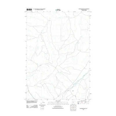
2012 Map of Sleepers Ranch
USGS Topo · Published 2012About this map
Greybull River cuts across the southeastern corner of this landscape, serving as a primary hydrological focal point for a region defined by arid drainages and isolated outposts. The map documents the rural infrastructure of Park County in the early 21st century, where human presence is marked by naming conventions like Sleepers Ranch and the solitary Red Cabin. A network of unpaved thoroughfares, including Road 3le and Road 3ng, provides access through the terrain to various ranching operations.
Find a feature on this map
9 named features on this map. Tap any name to fly to it.
Don’t see what you’re looking for? This feature index may not catch every label — zoom into the map to look around manually.
Map Details
Editions of this 2012 Sleepers Ranch Map
This is the sole edition of this map. No revisions or reprints were ever made.
Other maps of this area

1911 · Meeteetse
USGS Topo · 1:62,500

1911 · Oregon Basin
USGS Topo · 1:62,500

1913 · Oregon Basin
USGS Topo · 1:62,500

1913 · Meeteetse
USGS Topo · 1:62,500

1951 · Y U Bench NW
USGS Topo · 1:24,000

1951 · Sheets Flat
USGS Topo · 1:24,000

1951 · Wilson Spring
USGS Topo · 1:24,000

1955 · Cody
USGS Topo · 1:250,000

1958 · Cody
USGS Topo · 1:250,000

1962 · Cody
USGS Topo · 1:250,000