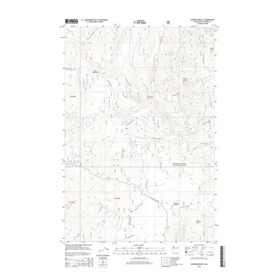
2014 Map of Sleeping Beauty
USGS Topo · Published 2014About this map
Sleeping Beauty stands as a prominent volcanic landmark within the high-elevation terrain of the Gifford Pinchot National Forest in this 2014 survey. The landscape is defined by a dense network of Forest Development Roads and the prominent corridor of the Pacific Crest National Scenic Trail, which traverses the western edge of the quadrangle near Tire Junction. Water features are abundant, ranging from the cascade at Langfield Falls to several subalpine basins containing Little Goose Lake, Lake Comcomly, and Lake Wapiki. This map illustrates the modern management of a recreational and timber wilderness, showing how various forest roads, such as Nat For Dev RD 88, provide access to the drainages of Trout Lake Cr and Little Goose Cr. The area around Deadhorse Meadow and Peterson Ridge highlights the complex topography of the southern Cascades during the early 21st century.
Find a feature on this map
44 named features on this map. Tap any name to fly to it.
Don’t see what you’re looking for? This feature index may not catch every label — zoom into the map to look around manually.
Map Details
Editions of this 2014 Sleeping Beauty Map
This is the sole edition of this map. No revisions or reprints were ever made.
Other maps of this area

1926 · Steamboat Mtn
USGS Topo · 1:125,000

1926 · Hood River
USGS Topo · 1:125,000

1929 · Hood River
USGS Topo · 1:125,000

1931 · Steamboat Mtn
USGS Topo · 1:125,000

1950 · Yakima
USGS Topo · 1:250,000

1953 · The Dalles
USGS Topo · 1:250,000

1956 · The Dalles
USGS Topo · 1:250,000

1957 · The Dalles
USGS Topo · 1:250,000

1957 · Wind River
USGS Topo · 1:62,500

1957 · Willard
USGS Topo · 1:62,500