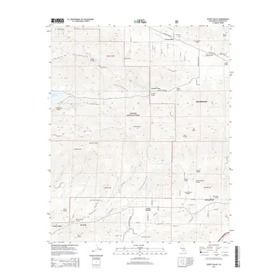
2015 Map of Sleepy Valley
USGS Topo · Published 2015About this map
The San Andreas Fault cuts a definitive line across the northern portion of this landscape, marking the geological boundary between Leona Valley and the high desert. This 2015 survey illustrates a mix of small residential communities and the rugged interior of the Angeles National Forest. Small settlements such as Lincoln Crest, White Heather, and The Oaks are distributed along the canyon bottoms and lower slopes, connected by a network of mountain roads like Elizabeth Lake Rd and Agua Dulce Canyon Rd. In the south, the Agua Dulce Airport serves as a local aviation landmark near the transition into Sierra Pelona Valley.
Find a feature on this map
67 named features on this map. Tap any name to fly to it.
Don’t see what you’re looking for? This feature index may not catch every label — zoom into the map to look around manually.
Map Details
Editions of this 2015 Sleepy Valley Map
This is the sole edition of this map. No revisions or reprints were ever made.
Other maps of this area

1900 · Tujunga
USGS Topo · 1:62,500

1900 · Fernando
USGS Topo · 1:62,500

1901 · Southern California Sheet No. 1
USGS Topo · 1:250,000

1904 · Southern California Sheet No. 1
USGS Topo · 1:250,000

1915 · Elizabeth Lake
USGS Topo · 1:125,000

1917 · Elizabeth Lake
USGS Topo · 1:125,000

1929 · Lang
USGS Topo · 1:24,000

1930 · Ravenna
USGS Topo · 1:24,000

1931 · Del Sur
USGS Topo · 1:24,000

1932 · Red Rover
USGS Topo · 1:24,000