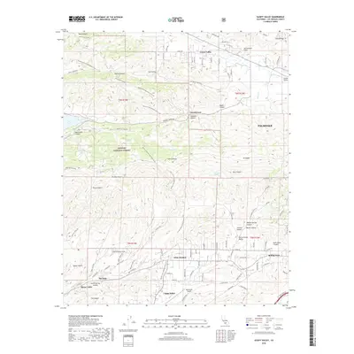
2018 Map of Sleepy Valley
USGS Topo · Published 2018About this map
Leona Valley and Agua Dulce anchor the high desert landscape of Los Angeles County, where the massive San Andreas Fault cuts a visible path through the terrain. The topography is defined by the high ridges of the Sierra Pelona and Mt McDill, with deep cuts like Bouquet Canyon and Mint Canyon providing traditional routes through the mountains. This 2018 survey reveals the persistent wild character of the Angeles National Forest, contrasted with the rural residential development in small communities like The Oaks and Lincoln Crest. The long-distance Pacific Crest National Scenic Trail winds through the center of the sheet, crossing the Leona Divide Fire Rd and passing through Lost Valley. The proximity of the Agua Dulce Airport and various springs like Willow Spring and Fryingpan Springs highlight the intersection of modern infrastructure and essential natural resources in this arid environment.
Find a feature on this map
87 named features on this map. Tap any name to fly to it.
Don’t see what you’re looking for? This feature index may not catch every label — zoom into the map to look around manually.
Map Details
Editions of this 2018 Sleepy Valley Map
This is the sole edition of this map. No revisions or reprints were ever made.
Other maps of this area

1900 · Tujunga
USGS Topo · 1:62,500

1900 · Fernando
USGS Topo · 1:62,500

1901 · Southern California Sheet No. 1
USGS Topo · 1:250,000

1904 · Southern California Sheet No. 1
USGS Topo · 1:250,000

1915 · Elizabeth Lake
USGS Topo · 1:125,000

1917 · Elizabeth Lake
USGS Topo · 1:125,000

1929 · Lang
USGS Topo · 1:24,000

1930 · Ravenna
USGS Topo · 1:24,000

1931 · Del Sur
USGS Topo · 1:24,000

1932 · Red Rover
USGS Topo · 1:24,000