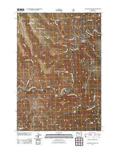
2011 Map of Slickear Mountain
USGS Topo · Published 2011About this map
The North Fork John Day River and Middle Fork John Day River converge in this high-elevation corner of Oregon, defining a landscape carved by significant canyons and watercourses. This area, dominated by Slickear Mountain and Murphy Mountain, shows the intersection of deep drainage systems like Slickear Canyon and Reade Canyon with broader features such as Elder Flat. Historically, the terrain required specific passage points, noted here as Twomile Gap and Fourmile Gap, which likely dictated early travel through the region. The map captures a primarily undeveloped wilderness where transportation is limited to a few arterial routes like North Fork Rd and Ritter Rd, following the natural contours of the ridges and riverbanks. This 2011 survey provides a clear look at the topography including Potamus Ridge and Conger Mountain, essential for understanding the hydrology and land use patterns of the John Day basin.
Find a feature on this map
24 named features on this map. Tap any name to fly to it.
Don’t see what you’re looking for? This feature index may not catch every label — zoom into the map to look around manually.
Map Details
Editions of this 2011 Slickear Mountain Map
This is the sole edition of this map. No revisions or reprints were ever made.
Other maps of this area

1950 · Ritter
USGS Topo · 1:62,500

1951 · Monument
USGS Topo · 1:62,500

1952 · Ritter
USGS Topo · 1:62,500

1953 · Pendleton
USGS Topo · 1:250,000

1955 · Canyon City
USGS Topo · 1:250,000

1956 · Pendleton
USGS Topo · 1:250,000

1959 · Canyon City
USGS Topo · 1:250,000

1969 · Lake Penland
USGS Topo · 1:24,000

1969 · Thompson Flat
USGS Topo · 1:24,000

1969 · Madison Butte
USGS Topo · 1:24,000