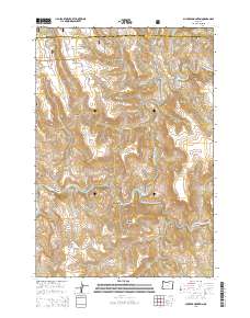
2014 Map of Slickear Mountain
USGS Topo · Published 2014About this map
Slickear Mountain and the surrounding high country of the Umatilla National Forest dominate this landscape on the border of Morrow and Grant counties. The terrain is defined by a series of deep drainages including Slickear Canyon and Twomile Canyon, which feed into the larger river systems. Both the North Fork John Day River and the Middle Fork John Day River cross this area, illustrating the critical watershed geography of eastern Oregon. Access into these canyons is limited to a few primitive routes such as Ritter Rd and the NF 160. Named landmarks like Elder Flat and Potamus Ridge provide orientation across the diverse topography, while narrow passages like Fourmile Gap and Twomile Gap connect the various mountain ridges and basins.
Find a feature on this map
36 named features on this map. Tap any name to fly to it.
Don’t see what you’re looking for? This feature index may not catch every label — zoom into the map to look around manually.
Map Details
Editions of this 2014 Slickear Mountain Map
This is the sole edition of this map. No revisions or reprints were ever made.
Other maps of this area

1950 · Ritter
USGS Topo · 1:62,500

1951 · Monument
USGS Topo · 1:62,500

1952 · Ritter
USGS Topo · 1:62,500

1953 · Pendleton
USGS Topo · 1:250,000

1955 · Canyon City
USGS Topo · 1:250,000

1956 · Pendleton
USGS Topo · 1:250,000

1959 · Canyon City
USGS Topo · 1:250,000

1969 · Lake Penland
USGS Topo · 1:24,000

1969 · Thompson Flat
USGS Topo · 1:24,000

1969 · Madison Butte
USGS Topo · 1:24,000