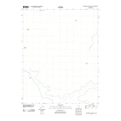
2011 Map of Slickhorn Canyon East
USGS Topo · Published 2011About this map
The San Juan River carves a deep, winding path through the southern portion of this landscape, creating a distinct topographical barrier defined by sharp relief and river features like Government Rapids. To the north, the plateau is marked by a series of high, flat-topped formations including Polly Mesa and Slickhorn Pasture. The nomenclature of the terrain reflects early land-use and navigational landmarks, with distinctive names like Hat Rock, Hat Flat, and the Cowboy Hat formation situated near the riverbanks.
Find a feature on this map
11 named features on this map. Tap any name to fly to it.
Don’t see what you’re looking for? This feature index may not catch every label — zoom into the map to look around manually.
Map Details
Editions of this 2011 Slickhorn Canyon East Map
This is the sole edition of this map. No revisions or reprints were ever made.
Other maps of this area

1886 · Henry Mountains
USGS Topo · 1:250,000

1886 · Abajo
USGS Topo · 1:250,000

1892 · Abajo
USGS Topo · 1:250,000

1892 · Henry Mountains
USGS Topo · 1:250,000

1893 · Abajo
USGS Topo · 1:250,000

1954 · Clay Hills 1 NW
USGS Topo · 1:24,000

1956 · Escalante
USGS Topo · 1:250,000

1956 · Cortez
USGS Topo · 1:250,000

1958 · Cortez
USGS Topo · 1:250,000

1959 · Cortez
USGS Topo · 1:250,000