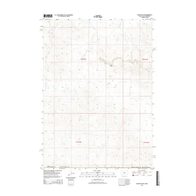
2015 Map of Slim Butte SW
USGS Topo · Published 2015About this map
Slim Butte dominates the central landscape of this western portion of the Pine Ridge Reservation in Oglala Lakota County. This landform serves as a primary drainage divide for the area, directing water through several notable seasonal and perennial watercourses. To the northwest, Slim Butte Cr carves its path, while the eastern slopes are drained by the headwaters of Alkali Cr and Allen Cr. The map reflects the sparse, open character of this South Dakota landscape, where the topography is defined more by its natural hydrology and rising buttes than by modern development. The Public Land Survey System grid, including Township 36 North, Range 48 West, provides the primary structural framework for navigating this remote corner of the state.
Find a feature on this map
10 named features on this map. Tap any name to fly to it.
Don’t see what you’re looking for? This feature index may not catch every label — zoom into the map to look around manually.
Map Details
Editions of this 2015 Slim Butte SW Map
This is the sole edition of this map. No revisions or reprints were ever made.
Other maps of this area

1896 · Oelrichs
USGS Topo · 1:125,000

1900 · Oelrichs
USGS Topo · 1:125,000

1955 · Hot Springs
USGS Topo · 1:250,000

1955 · Alliance
USGS Topo · 1:250,000

1957 · Alliance
USGS Topo · 1:250,000

1958 · Alliance
USGS Topo · 1:250,000

1967 · Slim Butte SW
USGS Topo · 1:24,000

1967 · Slim Butte NW
USGS Topo · 1:24,000

1967 · Slim Butte NE
USGS Topo · 1:24,000

1967 · Slim Butte
USGS Topo · 1:24,000