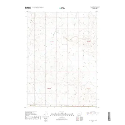
2017 Map of Slim Butte SW
USGS Topo · Published 2017About this map
Slim Butte rises as a central landmark in this high plains landscape within Oglala Lakota County, documenting a terrain defined by intermittent drainage and the Public Land Survey System. The map reveals the intricate network of physical features that shaped movement across the Pine Ridge region, including the headwaters of Slim Butte Cr, Alkali Cr, and Allen Cr. These waterways cut through the sections of townships T36N R48W and T36N R47W, creating a complex series of draws and ridges that stand in contrast to the surrounding tablelands. The absence of permanent settlements or dense road networks reflects the expansive, open character of the South Dakota landscape during the early twenty-first century, where natural topography remains the primary guide for navigation and land use.
Find a feature on this map
10 named features on this map. Tap any name to fly to it.
Don’t see what you’re looking for? This feature index may not catch every label — zoom into the map to look around manually.
Map Details
Editions of this 2017 Slim Butte SW Map
This is the sole edition of this map. No revisions or reprints were ever made.
Other maps of this area

1896 · Oelrichs
USGS Topo · 1:125,000

1900 · Oelrichs
USGS Topo · 1:125,000

1955 · Hot Springs
USGS Topo · 1:250,000

1955 · Alliance
USGS Topo · 1:250,000

1957 · Alliance
USGS Topo · 1:250,000

1958 · Alliance
USGS Topo · 1:250,000

1967 · Slim Butte SW
USGS Topo · 1:24,000

1967 · Slim Butte NW
USGS Topo · 1:24,000

1967 · Slim Butte NE
USGS Topo · 1:24,000

1967 · Slim Butte
USGS Topo · 1:24,000