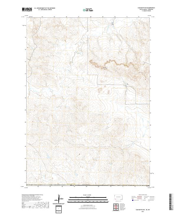
2021 Map of Slim Butte SW
USGS Topo · Published 2021About this map
Slim Butte dominates this high plains landscape within Oglala Lakota County, a region defined by dramatic elevation changes and seasonal drainage systems. The terrain is marked by intricate contouring that illustrates the plateau's erosional edges, where numerous intermittent watercourses like Slim Butte Cr and Alkali Cr originate. This map reveals a section of the South Dakota backcountry primarily organized by the Public Land Survey System, showing the township boundaries of T36N and T35N. The network of local roads and unimproved trails suggests a landscape of ranching or protected lands, where natural landmarks like Allen Cr serve as the primary navigational anchors in an otherwise open and sparsely populated territory.
Find a feature on this map
9 named features on this map. Tap any name to fly to it.
Don’t see what you’re looking for? This feature index may not catch every label — zoom into the map to look around manually.
Map Details
Editions of this 2021 Slim Butte SW Map
This is the sole edition of this map. No revisions or reprints were ever made.
Other maps of this area

1896 · Oelrichs
USGS Topo · 1:125,000

1900 · Oelrichs
USGS Topo · 1:125,000

1955 · Hot Springs
USGS Topo · 1:250,000

1955 · Alliance
USGS Topo · 1:250,000

1957 · Alliance
USGS Topo · 1:250,000

1958 · Alliance
USGS Topo · 1:250,000

1967 · Slim Butte SW
USGS Topo · 1:24,000

1967 · Slim Butte NW
USGS Topo · 1:24,000

1967 · Slim Butte NE
USGS Topo · 1:24,000

1967 · Slim Butte
USGS Topo · 1:24,000