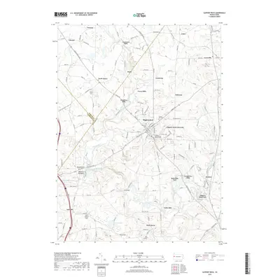
2019 Map of Slippery Rock
USGS Topo · Published 2019About this map
Slippery Rock Creek winds through this landscape, carving a path through a region defined by its glacial history and milling heritage. The topography is anchored by geological curiosities like the West Liberty Esker and a prominent Kettle Hole south of West Liberty. These formations provide a distinct backdrop to a network of historic mill sites, including Courtneys Mills, Currys Mills, and Christleys Mills, which trace the early industrial reliance on local waterpower.
Find a feature on this map
129 named features on this map. Tap any name to fly to it.
Don’t see what you’re looking for? This feature index may not catch every label — zoom into the map to look around manually.
Map Details
Editions of this 2019 Slippery Rock Map
This is the sole edition of this map. No revisions or reprints were ever made.
Other maps of this area

1908 · Zelienople
USGS Topo · 1:62,500

1909 · Butler
USGS Topo · 1:62,500

1910 · Zelienople
USGS Topo · 1:62,500

1910 · Hilliards
USGS Topo · 1:62,500

1911 · Butler
USGS Topo · 1:62,500

1912 · Hilliards
USGS Topo · 1:62,500

1913 · Mercer
USGS Topo · 1:62,500

1939 · Mercer
USGS Topo · 1:62,500

1943 · Mercer
USGS Topo · 1:62,500

1944 · Hilliards
USGS Topo · 1:62,500