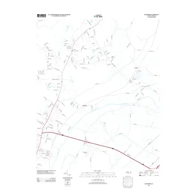
2013 Map of Slocomb
USGS Topo · Published 2013About this map
The Cape Fear River bisects this landscape, shaping the development of rural communities like Slocomb and Carlos. In this part of Cumberland County, the terrain is characterized by numerous small water bodies including Clarks Lake, Ennis Pond, and Smiths Lake, which dot the northern reaches above the riverbanks. The road network reveals a shift toward modern aviation interests with the presence of Flyers Airpark and Windemere Airport, contrasting with older rural routes like Colliers Chapel Church Rd. The presence of Carvers Cr and its tributaries provides a detailed look at the drainage patterns that have historically influenced land use and settlement placement near the river. This survey captures a mix of residential growth and established agricultural tracts as they appeared in the early 21st century, centered around the unincorporated town of Slocomb.
Find a feature on this map
140 named features on this map. Tap any name to fly to it.
Don’t see what you’re looking for? This feature index may not catch every label — zoom into the map to look around manually.
Map Details
Editions of this 2013 Slocomb Map
This is the sole edition of this map. No revisions or reprints were ever made.
Other maps of this area

1948 · Fayetteville
USGS Topo · 1:62,500

1948 · Slocomb
USGS Topo · 1:24,000

1949 · Vander
USGS Topo · 1:24,000

1950 · Fayetteville
USGS Topo · 1:24,000

1950 · Manchester
USGS Topo · 1:24,000

1950 · Slocomb
USGS Topo · 1:24,000

1953 · Raleigh
USGS Topo · 1:250,000

1954 · Raleigh
USGS Topo · 1:250,000

1956 · Anderson Creek
USGS Topo · 1:24,000

1956 · Bunnlevel
USGS Topo · 1:24,000