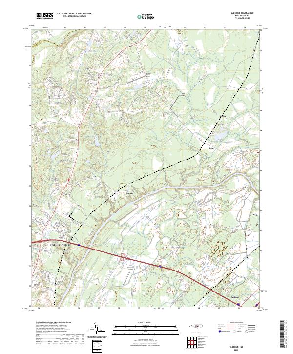
2022 Map of Slocomb
USGS Topo · Published 2022About this map
The Cape Fear River and its tributary, the Little River, define the landscape of this portion of Cumberland County, where the northern outskirts of Fayetteville meet the rural expanses of the Carolina coastal plain. The map documents the northern growth of the city, including the campus of Methodist University and the residential corridors branching off Ramsey St. Beyond the urban edge, the terrain is characterized by a series of small airfields such as Windsor Farms Airport, Flyers Airpark, and Windemere Airport, indicating the importance of general aviation in this region.
Find a feature on this map
126 named features on this map. Tap any name to fly to it.
Don’t see what you’re looking for? This feature index may not catch every label — zoom into the map to look around manually.
Map Details
Editions of this 2022 Slocomb Map
This is the sole edition of this map. No revisions or reprints were ever made.
Other maps of this area

1948 · Fayetteville
USGS Topo · 1:62,500

1948 · Slocomb
USGS Topo · 1:24,000

1949 · Vander
USGS Topo · 1:24,000

1950 · Fayetteville
USGS Topo · 1:24,000

1950 · Manchester
USGS Topo · 1:24,000

1950 · Slocomb
USGS Topo · 1:24,000

1953 · Raleigh
USGS Topo · 1:250,000

1954 · Raleigh
USGS Topo · 1:250,000

1956 · Anderson Creek
USGS Topo · 1:24,000

1956 · Bunnlevel
USGS Topo · 1:24,000