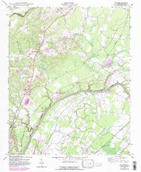
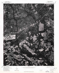
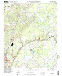
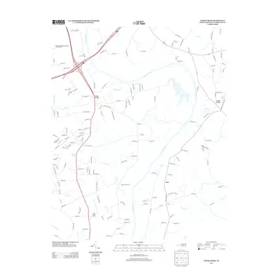
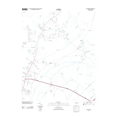
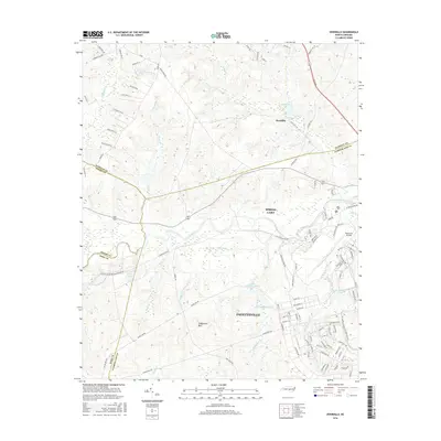
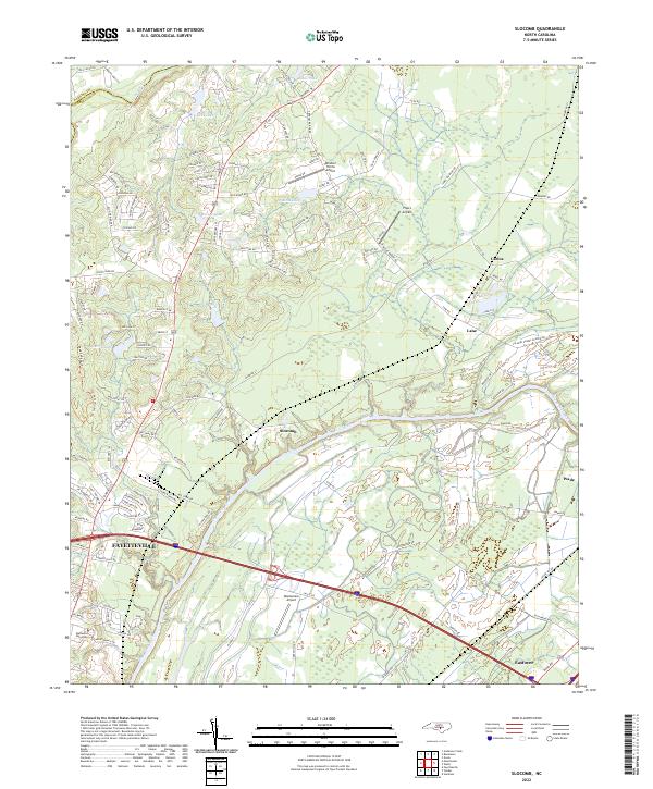
1948 Map of Slocomb
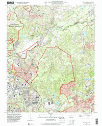
USGS Topo · Published 1982About this map
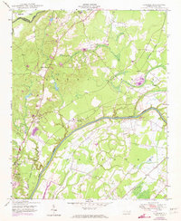
The Cape Fear River carves a winding path across this landscape, defining the character of Cumberland County before modern development accelerated. In the mid-20th century, the region maintained a rural, communal structure anchored by landmarks such as Palestine Church, Zion Church, and the Cedar Falls Church near the Norfolk Southern rail line. The presence of the Long Hill School and several scattered cemeteries suggests a population organized around small crossroads and family landholdings.
Find a feature on this map
17 named features on this map. Tap any name to fly to it.
Don’t see what you’re looking for? This feature index may not catch every label — zoom into the map to look around manually.
Map Details
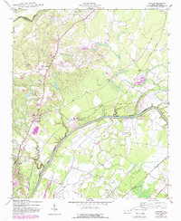
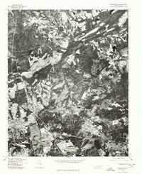
Editions of this 1948 Slocomb Map
2 editions found
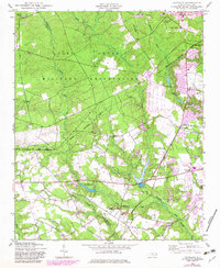
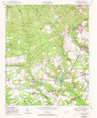
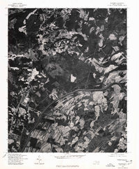
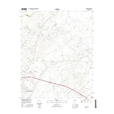
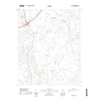
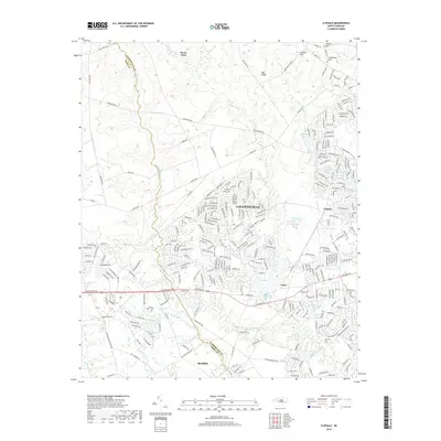
Historical Maps of Fayetteville Through Time
36 maps found
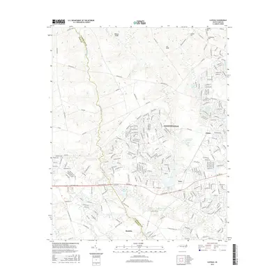
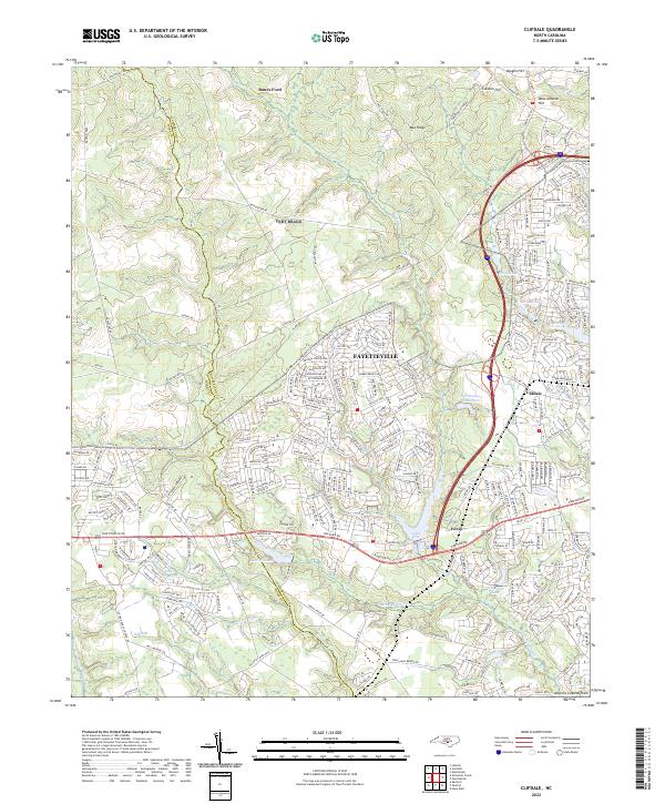
1948 Clifdale
Cumberland County, NC
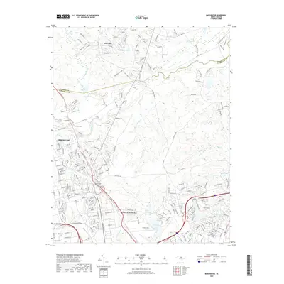
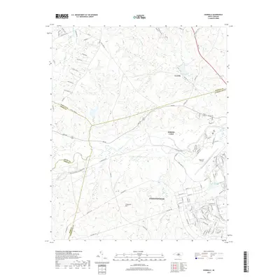
1948 Slocomb
Cumberland County, NC
1950 Clifdale
Cumberland County, NC

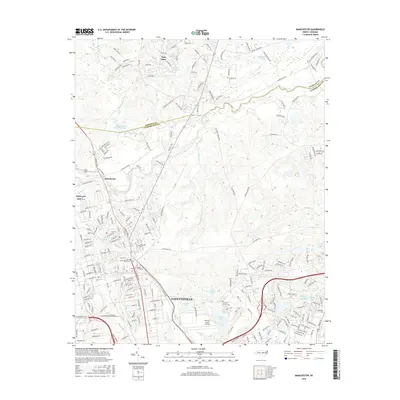
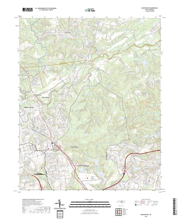
1950 Manchester
Cumberland County, NC
1950 Slocomb
Cumberland County, NC
1957 Manchester
Cumberland County, NC
1957 Overhills
Cumberland County, NC
1959 Saint Pauls
Cumberland County, NC
1976 Clifdale
Cumberland County, NC
1976 Manchester
Cumberland County, NC
1976 Slocomb
Cumberland County, NC
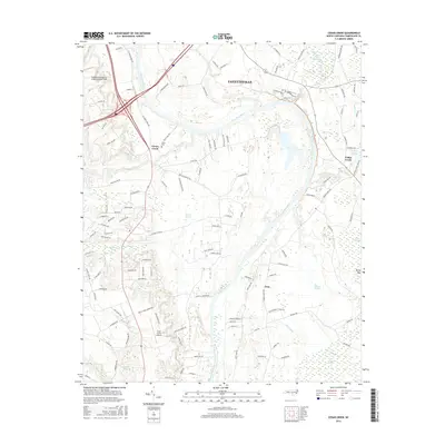
1986 Cedar Creek
Cumberland County, NC
1997 Manchester
Cumberland County, NC
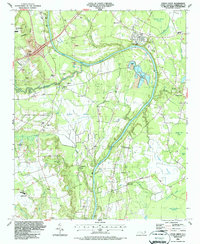
1997 Slocomb
Cumberland County, NC
2010 Cedar Creek
Cumberland County, NC
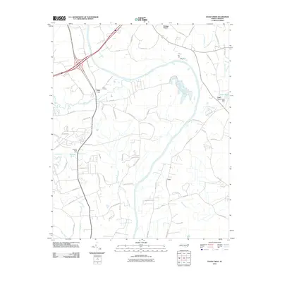
2010 Slocomb
Cumberland County, NC
2013 Cedar Creek
Cumberland County, NC
2013 Clifdale
Cumberland County, NC
2013 Manchester
Cumberland County, NC
2013 Overhills
Cumberland County, NC
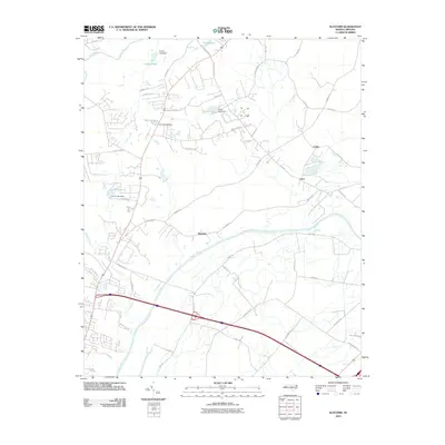
2013 Slocomb
Cumberland County, NC
2016 Cedar Creek
Cumberland County, NC
2016 Clifdale
Cumberland County, NC
2016 Manchester
Cumberland County, NC
2016 Overhills
Cumberland County, NC
2016 Slocomb
Cumberland County, NC
2019 Cedar Creek
Cumberland County, NC
2019 Clifdale
Cumberland County, NC
2019 Manchester
Cumberland County, NC
2019 Overhills
Cumberland County, NC

2019 Slocomb
Cumberland County, NC

2022 Cedar Creek
Cumberland County, NC
2022 Clifdale
Cumberland County, NC
2022 Manchester
Cumberland County, NC
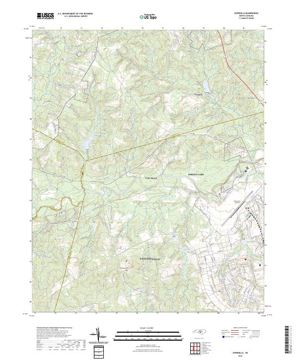
2022 Overhills
Cumberland County, NC
2022 Slocomb
Cumberland County, NC