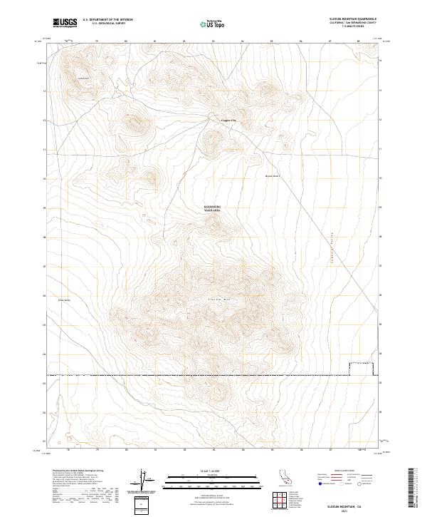
2021 Map of Slocum Mountain
USGS Topo · Published 2021About this map
Copper City sits at the northern edge of this high desert landscape, a remote site that underscores the industrial history of the northwestern Mojave Desert. The terrain is defined by dramatic elevation changes, centered on the prominent peak of Slocum Mtn and the northern heights of Granite Mtn. These peaks overlook expansive basins, including Grass Valley to the west and the wide Superior Valley to the east. This 2021 survey by the U.S. Geological Survey details the township and range divisions across this arid region, providing a precise look at the land's relief through 40-foot contour intervals. The map is a critical resource for understanding the contemporary geography of these named valleys and the sparse road network that connects the area's few established landmarks.
Find a feature on this map
12 named features on this map. Tap any name to fly to it.
Don’t see what you’re looking for? This feature index may not catch every label — zoom into the map to look around manually.
Map Details
Editions of this 2021 Slocum Mountain Map
This is the sole edition of this map. No revisions or reprints were ever made.
Other maps of this area

1915 · Searles Lake
USGS Topo · 1:250,000

1947 · Trona
USGS Topo · 1:250,000

1948 · Trona
USGS Topo · 1:250,000

1953 · Trona
USGS Topo · 1:250,000

1954 · Pilot Knob
USGS Topo · 1:62,500

1954 · Cuddeback Lake
USGS Topo · 1:62,500

1955 · Opal Mountain
USGS Topo · 1:62,500

1956 · Fremont Peak
USGS Topo · 1:62,500

1957 · Trona
USGS Topo · 1:250,000

1960 · Trona
USGS Topo · 1:250,000