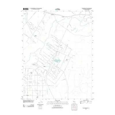
2012 Map of Sloughhouse
USGS Topo · Published 2012About this map
The Cosumnes River corridor dominates this central California landscape, winding past the historic settlement of Sloughhouse. This region of Sacramento County is characterized by a unique combination of riparian waterways and a notable concentration of private aviation facilities. Numerous small airfields, including the Lucchetti Ranch Airport, Sky Way Estates Airport, and Alta Mesa Airpark, are scattered near the communities of Wilton and Walmort. The engineering of the Folsom South Canal cuts across the terrain, illustrating the significant water management infrastructure that supports the area's agricultural and residential development. Local drainage is defined by several tributaries, with Deer Cr and Badger Cr feeding into the larger river system, while a network of rural roads like Grant Line Rd and Dillard Rd connects these outlying settlements.
Find a feature on this map
98 named features on this map. Tap any name to fly to it.
Don’t see what you’re looking for? This feature index may not catch every label — zoom into the map to look around manually.
Map Details
Editions of this 2012 Sloughhouse Map
This is the sole edition of this map. No revisions or reprints were ever made.
Other maps of this area

1891 · Sacramento
USGS Topo · 1:125,000

1892 · Sacramento
USGS Topo · 1:125,000

1893 · Sacramento
USGS Topo · 1:125,000

1894 · Lodi
USGS Topo · 1:125,000

1902 · Fairoaks
USGS Topo · 1:62,500

1908 · Buffalo Creek
USGS Topo · 1:31,680

1909 · Elk Grove
USGS Topo · 1:31,680

1909 · Carbondale
USGS Topo · 1:31,680

1909 · Clay
USGS Topo · 1:31,680

1909 · Cosumnes
USGS Topo · 1:31,680