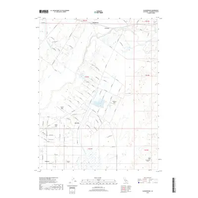
2018 Map of Sloughhouse
USGS Topo · Published 2018About this map
The Cosumnes River meanders through this landscape in southeastern Sacramento County, anchoring the settlements of Sloughhouse and Cosumne. This territory reflects a transition from traditional agricultural ranching to specialized aviation, evidenced by a high density of private landing strips including Lucchetti Ranch Airport, Sky Way Estates Airport, and Boeckmann Ranch Airport. The large-scale Folsom South Canal cuts a distinct path through the terrain, intersecting the natural flow of Deer Cr and Badger Cr.
Find a feature on this map
90 named features on this map. Tap any name to fly to it.
Don’t see what you’re looking for? This feature index may not catch every label — zoom into the map to look around manually.
Map Details
Editions of this 2018 Sloughhouse Map
This is the sole edition of this map. No revisions or reprints were ever made.
Other maps of this area

1891 · Sacramento
USGS Topo · 1:125,000

1892 · Sacramento
USGS Topo · 1:125,000

1893 · Sacramento
USGS Topo · 1:125,000

1894 · Lodi
USGS Topo · 1:125,000

1902 · Fairoaks
USGS Topo · 1:62,500

1908 · Buffalo Creek
USGS Topo · 1:31,680

1909 · Elk Grove
USGS Topo · 1:31,680

1909 · Carbondale
USGS Topo · 1:31,680

1909 · Clay
USGS Topo · 1:31,680

1909 · Cosumnes
USGS Topo · 1:31,680