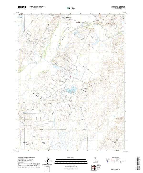
2022 Map of Sloughhouse
USGS Topo · Published 2022About this map
Cosumnes River winds through the heart of this landscape, anchoring a rural corridor where historic settlements and aviation landmarks intersect. The community of Wilton serves as a primary hub, situated near the Folsom South Canal and the southern edge of the survey. Northward, the village of Sloughhouse and the settlement of Cosumne follow the river's course, connected by a network of ranch roads like Jackson Rd and Dillard Rd.
Find a feature on this map
90 named features on this map. Tap any name to fly to it.
Don’t see what you’re looking for? This feature index may not catch every label — zoom into the map to look around manually.
Map Details
Editions of this 2022 Sloughhouse Map
This is the sole edition of this map. No revisions or reprints were ever made.
Other maps of this area

1891 · Sacramento
USGS Topo · 1:125,000

1892 · Sacramento
USGS Topo · 1:125,000

1893 · Sacramento
USGS Topo · 1:125,000

1894 · Lodi
USGS Topo · 1:125,000

1902 · Fairoaks
USGS Topo · 1:62,500

1908 · Buffalo Creek
USGS Topo · 1:31,680

1909 · Elk Grove
USGS Topo · 1:31,680

1909 · Carbondale
USGS Topo · 1:31,680

1909 · Clay
USGS Topo · 1:31,680

1909 · Cosumnes
USGS Topo · 1:31,680