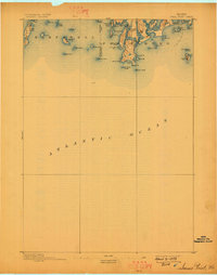
1893 Map of Small Point
USGS Topo · Published 1898About this map
Small Point anchors this coastal survey of the Casco Bay region, where the mainland of Phippsburg meets the Atlantic. The 1890 topography reveals a landscape defined by jagged peninsulas and a dense archipelago of islands, from the larger Bailey Island and Orrs Id. in the west to the offshore sentinels of Seguin Light and Pond Id. Light. The map captures the maritime character of the late nineteenth century, noting hazardous reefs like Bald Head Ledge and Fuller Rock alongside sheltered waters such as Carrying Place Cove and Horse Cove. Inland, the narrow drainage of North Brook and the Sprague River highlight the delicate geography of the neck, while place names like Cliffstone and Popham Beach mark early coastal development before the modern era of extensive shorefront infrastructure.
Find a feature on this map
53 named features on this map. Tap any name to fly to it.
Don’t see what you’re looking for? This feature index may not catch every label — zoom into the map to look around manually.
Map Details
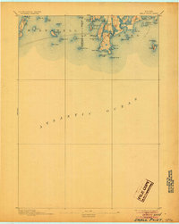
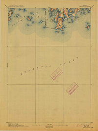
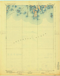
Editions of this 1893 Small Point Map
5 editions found
Other maps of this area

1892 · Freeport
USGS Topo · 1:62,500

1893 · Small Point
USGS Topo · 1:62,500

1893 · Casco Bay
USGS Topo · 1:62,500

1893 · Boothbay
USGS Topo · 1:62,500

1894 · Bath
USGS Topo · 1:62,500

1914 · Casco Bay
USGS Topo · 1:48,000

1916 · Casco Bay
USGS Topo · 1:62,500

1916 · Portland And Vicinity
USGS Topo · 1:62,500

1918 · Portland And Vicinity
USGS Topo · 1:62,500

1919 · Small Point
USGS Topo · 1:62,500