
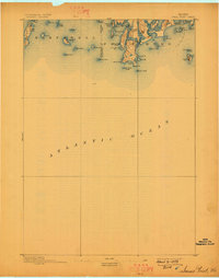
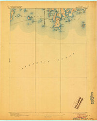
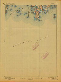
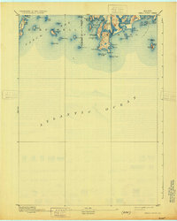
1893 Map of Small Point
USGS Topo · Published 1893About this map
Pond Id. Light and Seguin Light anchor this maritime survey of the Maine coastline, marking the entrance to the intricate waterways of the Midcoast region. The topography captures the jagged interface of the Atlantic Ocean and Casco Bay, where the transition from open sea to sheltered harbors is defined by landmarks like Small Point and Bailey Island. The drainage patterns of the Sprague River and Morse River illustrate the coastal marshlands, while numerous landforms such as Carrying Place Head and Bald Head reveal the exposed geography of the era.
Find a feature on this map
56 named features on this map. Tap any name to fly to it.
Don’t see what you’re looking for? This feature index may not catch every label — zoom into the map to look around manually.
Map Details
Editions of this 1893 Small Point Map
5 editions found
Other maps of this area

1892 · Freeport
USGS Topo · 1:62,500

1893 · Casco Bay
USGS Topo · 1:62,500

1893 · Boothbay
USGS Topo · 1:62,500

1894 · Bath
USGS Topo · 1:62,500

1914 · Casco Bay
USGS Topo · 1:48,000

1916 · Casco Bay
USGS Topo · 1:62,500

1916 · Portland And Vicinity
USGS Topo · 1:62,500

1918 · Portland And Vicinity
USGS Topo · 1:62,500

1919 · Small Point
USGS Topo · 1:62,500

1920 · Bath
USGS Topo · 1:62,500