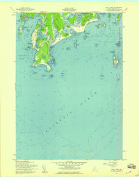
1957 Map of Small Point
USGS Topo · Published 1959About this map
Fort Baldwin and the adjacent military reservation stand watch over the mouth of the Kennebec R in this coastal study of the Phippsburg peninsula. This mid-century revision details a landscape defined by dramatic granite headlands and sandy reaches, from the expanse of Hunnewell Beach to the rocky protrusion of Cape Small. The map documents the layout of established summer settlements like Popham Beach and Small Point, alongside geographical features such as Morse Mtn and Silver Lake. Maritime navigation is highlighted by a Lookout Tower on the cape and a Light situated off the coast of Georgetown. The intricate coastline of Small Point Harbor and Hermit Island reveals the era's blend of seasonal residence and enduring military infrastructure, set against the soundings of the Atlantic Ocean and Casco Bay.
Find a feature on this map
66 named features on this map. Tap any name to fly to it.
Don’t see what you’re looking for? This feature index may not catch every label — zoom into the map to look around manually.
Map Details
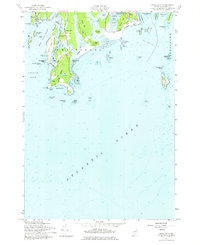
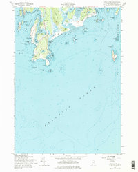
Editions of this 1957 Small Point Map
3 editions found
Other maps of this area

1893 · Small Point
USGS Topo · 1:62,500

1893 · Boothbay
USGS Topo · 1:62,500

1894 · Bath
USGS Topo · 1:62,500

1919 · Small Point
USGS Topo · 1:62,500

1920 · Bath
USGS Topo · 1:62,500

1941 · Boothbay
USGS Topo · 1:62,500

1943 · Boothbay
USGS Topo · 1:62,500

1944 · Boothbay
USGS Topo · 1:62,500

1944 · Small Point
USGS Topo · 1:62,500

1945 · Bath
USGS Topo · 1:62,500