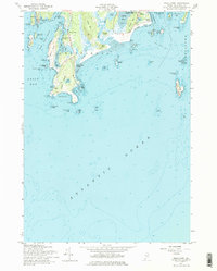
1957 Map of Small Point
USGS Topo · Published 1974About this map
Fort Baldwin and the surrounding U.S. Military Reservation overlook the mouth of the Kennebec River, anchoring a coastal landscape of intricate inlets and exposed headlands in the late 1950s. The village of West Point and the community at Small Point highlight the area's orientation toward the sea, while the interior is defined by notable elevations like Morse Mtn and Small Point Hill. This survey illustrates the relationship between protected waters like Small Point Harbor and the open Atlantic Ocean.
Find a feature on this map
66 named features on this map. Tap any name to fly to it.
Don’t see what you’re looking for? This feature index may not catch every label — zoom into the map to look around manually.
Map Details
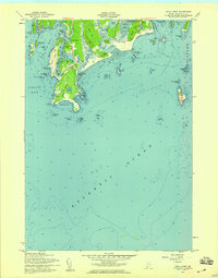
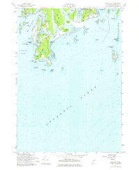
Editions of this 1957 Small Point Map
3 editions found
Other maps of this area

1893 · Small Point
USGS Topo · 1:62,500

1893 · Boothbay
USGS Topo · 1:62,500

1894 · Bath
USGS Topo · 1:62,500

1919 · Small Point
USGS Topo · 1:62,500

1920 · Bath
USGS Topo · 1:62,500

1941 · Boothbay
USGS Topo · 1:62,500

1943 · Boothbay
USGS Topo · 1:62,500

1944 · Boothbay
USGS Topo · 1:62,500

1944 · Small Point
USGS Topo · 1:62,500

1945 · Bath
USGS Topo · 1:62,500