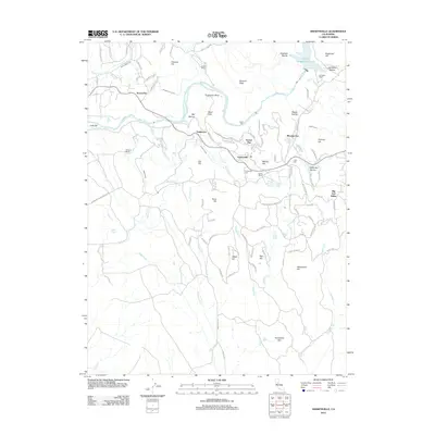
2012 Map of Smartsville
USGS Topo · Published 2012About this map
Smartsville and the surrounding foothill landscape of the Yuba River reveal a history deeply etched by nineteenth-century hydraulic mining. The complex network of water conveyances, including the Smith Bar Ditch, Sicard Flat Ditch, and China Ditch, illustrates the massive infrastructure once required to wash gold from the gravels of locations like Sicard Flat and Mooney Flat. These drainage and diversion systems remain prominent features alongside more modern water management at Harry L Englebright Lake.
Find a feature on this map
101 named features on this map. Tap any name to fly to it.
Don’t see what you’re looking for? This feature index may not catch every label — zoom into the map to look around manually.
Map Details
Editions of this 2012 Smartsville Map
This is the sole edition of this map. No revisions or reprints were ever made.
Other maps of this area

1888 · Smartsville
USGS Topo · 1:125,000

1891 · Smartsville
USGS Topo · 1:125,000

1892 · Smartsville
USGS Topo · 1:125,000

1894 · Smartsville
USGS Topo · 1:125,000

1895 · Smartsville
USGS Topo · 1:125,000

1910 · Wheatland
USGS Topo · 1:31,680

1911 · Browns Valley
USGS Topo · 1:31,680
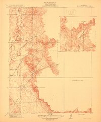
1912 · Prairie Creek
USGS Topo · 1:31,680

1915 · Spenceville
USGS Topo · 1:31,680

1941 · Bangor
USGS Topo · 1:62,500