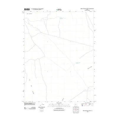
2010 Map of Smelter Knolls West
USGS Topo · Published 2010About this map
Drum Mountains and the Little Drum Mountains define the arid landscape of this Millard County interior, where survival has long depended on isolated water sources. The map documents a network of vital desert outposts including Little Drum Wells and the Old Smelter Well, which serve as physical markers of the region's human and industrial footprint. Modern water management is evidenced by the presence of Greener Reservoir and the Smelter Knolls Reservoir, situated near the eponymous Smelter Knolls. The sparse road network, including the route through Chalk Knolls, illustrates the remote nature of this terrain, where topographical features and named wells provide the primary landmarks for navigation and land use in the early twenty-first century.
Find a feature on this map
8 named features on this map. Tap any name to fly to it.
Don’t see what you’re looking for? This feature index may not catch every label — zoom into the map to look around manually.
Map Details
Editions of this 2010 Smelter Knolls West Map
This is the sole edition of this map. No revisions or reprints were ever made.
Other maps of this area

1885 · Sevier Desert
USGS Topo · 1:250,000

1908 · Fish Springs
USGS Topo · 1:250,000

1910 · Fish Springs
USGS Topo · 1:250,000

1953 · Topaz Mtn
USGS Topo · 1:62,500

1953 · Delta
USGS Topo · 1:250,000

1958 · Delta
USGS Topo · 1:250,000

1962 · Delta
USGS Topo · 1:250,000

1971 · Smelter Knolls East
USGS Topo · 1:24,000

1971 · Clay Knoll
USGS Topo · 1:24,000

1971 · Drum Mts Well
USGS Topo · 1:24,000