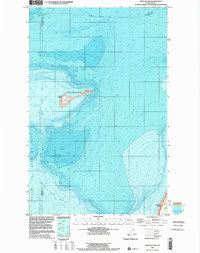
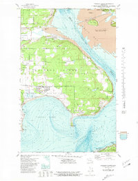
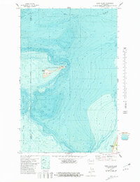
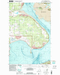
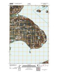
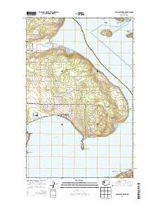
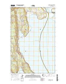
1998 Map of Smith Island
USGS Topo · Published 2002About this map
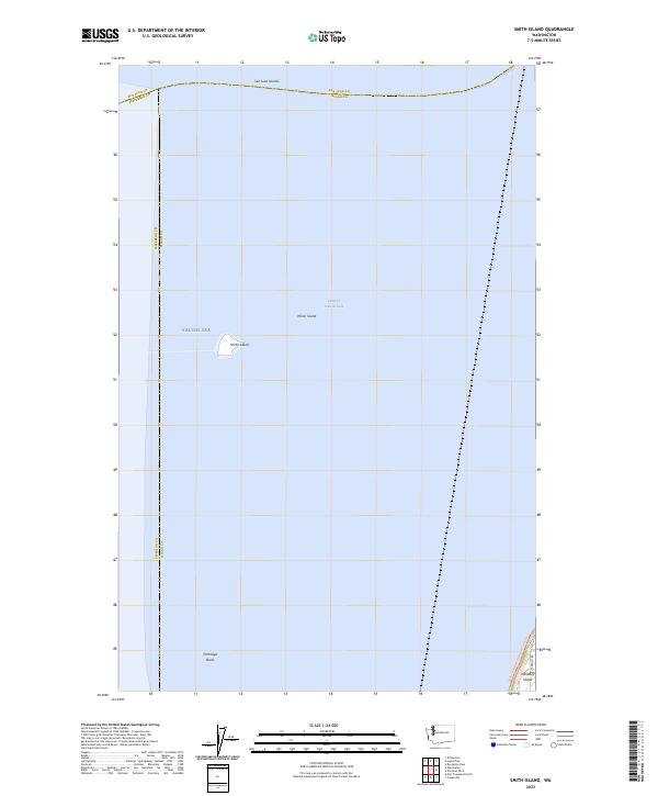
Smith Island and Minor Island sit as isolated outposts within the Strait of Juan de Fuca in this topographic-bathymetric study. Located at a critical maritime junction where the borders of San Juan, Jefferson, and Island counties meet, these small landmasses comprise the San Juan Islands National Wildlife Refuge. The map provides specific maritime infrastructure on the western end of Smith Island, including a Tower, Cistern, and Light, which have historically served as vital navigational aids for vessels entering the Puget Sound.
Find a feature on this map
15 named features on this map. Tap any name to fly to it.
Don’t see what you’re looking for? This feature index may not catch every label — zoom into the map to look around manually.
Map Details
Editions of this 1998 Smith Island Map
This is the sole edition of this map. No revisions or reprints were ever made.
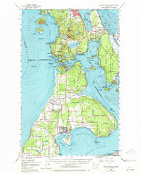
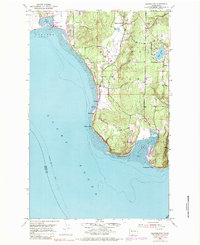
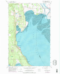
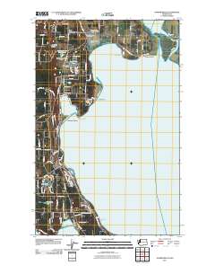
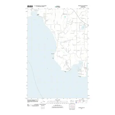
Historical Maps of Island County Through Time
29 maps found

1943 Deception Pass
Island County, WA
1951 Deception Pass
Island County, WA
1953 Maxwelton
Island County, WA
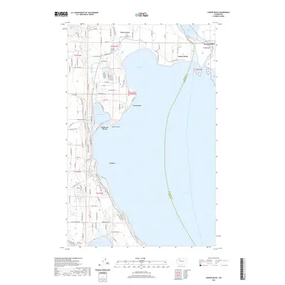
1956 Juniper Beach
Island County, WA
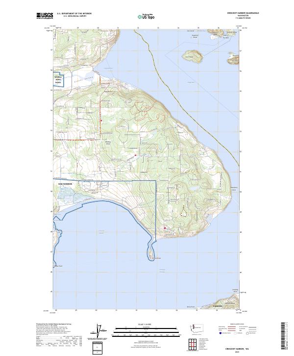
1977 Crescent Harbor
Island County, WA
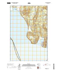
1978 Smith Island
Island County, WA
1997 Maxwelton
Island County, WA
1998 Crescent Harbor
Island County, WA
1998 Smith Island
Island County, WA
2011 Crescent Harbor
Island County, WA
2011 Juniper Beach
Island County, WA
2011 Maxwelton
Island County, WA
2011 Smith Island
Island County, WA
2014 Crescent Harbor
Island County, WA
2014 Juniper Beach
Island County, WA
2014 Maxwelton
Island County, WA
2014 Smith Island
Island County, WA

2017 Crescent Harbor
Island County, WA
2017 Juniper Beach
Island County, WA
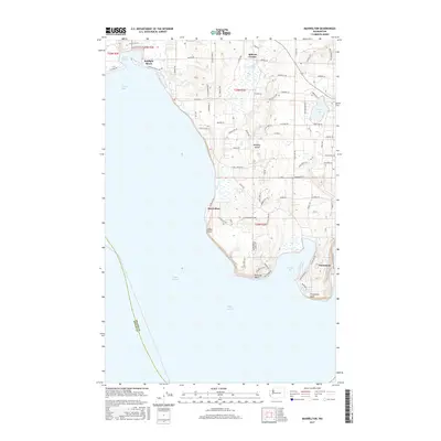
2017 Maxwelton
Island County, WA
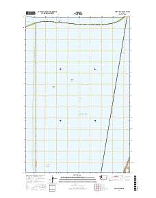
2017 Smith Island
Island County, WA
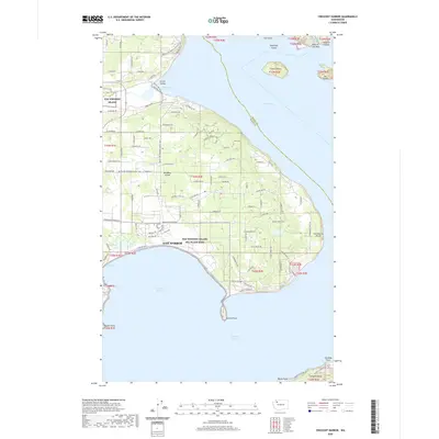
2020 Crescent Harbor
Island County, WA
2020 Juniper Beach
Island County, WA
2020 Maxwelton
Island County, WA
2020 Smith Island
Island County, WA
2023 Crescent Harbor
Island County, WA

2023 Juniper Beach
Island County, WA
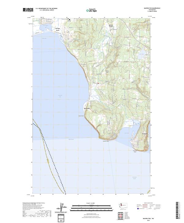
2023 Maxwelton
Island County, WA
2023 Smith Island
Island County, WA