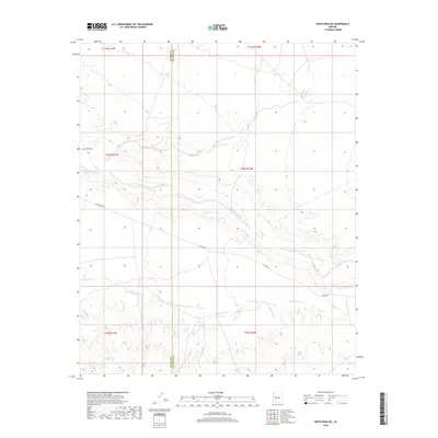
2018 Map of Smith Peak NE
USGS Topo · Published 2018About this map
Date Creek and Bullard Wash carve paths through this desert landscape along the border of La Paz and Yavapai counties. The map captures a high-desert environment defined by seasonal drainage patterns, where Miller Wash feeds into larger systems amidst a sparse network of roads. Transportation in this area relies on historic thoroughfares like Alamo Rd, Wickenburg Rd, and Date Creek Rd, which provide the primary access to this remote interior. The layout of section lines and township markers, including t10n r11w and t10n r10w, illustrates the orderly grid superimposed on the irregular terrain of the Arizona backcountry during the early 21st century.
Find a feature on this map
14 named features on this map. Tap any name to fly to it.
Don’t see what you’re looking for? This feature index may not catch every label — zoom into the map to look around manually.
Map Details
Editions of this 2018 Smith Peak NE Map
This is the sole edition of this map. No revisions or reprints were ever made.
Other maps of this area

1923 · Signal
USGS Topo · 1:250,000

1942 · Signal
USGS Topo · 1:250,000

1950 · Prescott
USGS Topo · 1:250,000

1954 · Prescott
USGS Topo · 1:250,000

1958 · Prescott
USGS Topo · 1:250,000

1959 · Prescott
USGS Topo · 1:250,000

1960 · Prescott
USGS Topo · 1:250,000

1965 · Prescott
USGS Topo · 1:250,000
1967 · Smith Peak
USGS Topo · 1:24,000
1967 · E.C.P. Peak
USGS Topo · 1:24,000