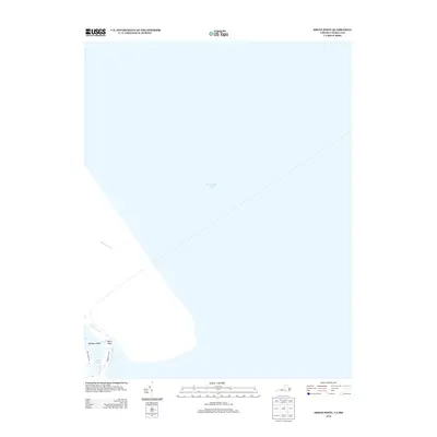
2013 Map of Smith Point
USGS Topo · Published 2013About this map
Chesapeake Bay dominates this coastal perspective where the Potomac River meets the bay's open waters. The land area is concentrated at the southern tip of the peninsula, centered on the geographic landmark of Smith Point. This maritime landscape is defined by its transition from land to sea, featuring Bamboo Island and the secluded waters of Rock Hole. Low-lying and exposed, the terrain is navigated via local routes such as Smith Point Rd and Tranquillity Rd, which serve the small cluster of coastal development. The map provides a clear look at the shoreline configuration in the early 21st century, illustrating the relationship between the river mouth and the expansive bay environment.
Find a feature on this map
7 named features on this map. Tap any name to fly to it.
Don’t see what you’re looking for? This feature index may not catch every label — zoom into the map to look around manually.
Map Details
Editions of this 2013 Smith Point Map
This is the sole edition of this map. No revisions or reprints were ever made.
Other maps of this area

1894 · Point Lookout
USGS Topo · 1:62,500

1898 · St. Marys
USGS Topo · 1:125,000

1903 · Bloodsworth Island
USGS Topo · 1:62,500

1906 · St. Marys
USGS Topo · 1:125,000

1912 · Point Lookout
USGS Topo · 1:62,500

1917 · Heathsville
USGS Topo · 1:48,000

1917 · Ewell
USGS Topo · 1:62,500

1937 · Point Lookout
USGS Topo · 1:62,500

1942 · Kedges Straits
USGS Topo · 1:24,000

1942 · Ewell
USGS Topo · 1:24,000