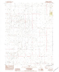
1984 Map of Smith Well
USGS Topo · Published 1984About this map
Ruby Valley serves as the backdrop for this 1980s landscape, defined by a critical network of water sources and seasonal drainage. The Franklin River and Withington Creek wind through the terrain, feeding into expansive Dry Lakes and the lush expanse of Big Meadow. The distribution of named water points like Smith Well, South Well, and the Company Well underscores the importance of groundwater for ranching and survival in this arid basin.
Find a feature on this map
14 named features on this map. Tap any name to fly to it.
Don’t see what you’re looking for? This feature index may not catch every label — zoom into the map to look around manually.
Map Details
Editions of this 1984 Smith Well Map
This is the sole edition of this map. No revisions or reprints were ever made.
Other maps of this area

1935 · Halleck
USGS Topo · 1:125,000

1955 · Elko
USGS Topo · 1:250,000

1958 · Elko
USGS Topo · 1:250,000

1962 · Elko
USGS Topo · 1:250,000

1962 · Lamoille
USGS Topo · 1:62,500

1965 · Elko
USGS Topo · 1:250,000

1968 · Franklin Lake NE
USGS Topo · 1:24,000
1984 · Arizona Spring
USGS Topo · 1:24,000
1984 · Ruby City Creek
USGS Topo · 1:24,000

1984 · West of Delcer Buttes
USGS Topo · 1:24,000