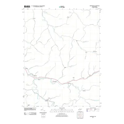
2011 Map of Smithburg
USGS Topo · Published 2011About this map
Smithburg and Morgansville anchor this 2011 survey of Doddridge County, where the dendritic drainage patterns of the Appalachian Plateau define the layout of local life. The map traces the winding paths of Middle Island Creek and Buckeye Creek, showing how historical settlements and modern roads follow the narrow valley floors between steep ridges. Genealogy researchers will find significant value in the documentation of family and community burial grounds, including Archbold Cemetery, Victory Cemetery, and Wolverton Cemetery.
Find a feature on this map
88 named features on this map. Tap any name to fly to it.
Don’t see what you’re looking for? This feature index may not catch every label — zoom into the map to look around manually.
Map Details
Editions of this 2011 Smithburg Map
This is the sole edition of this map. No revisions or reprints were ever made.
Other maps of this area

1904 · Vadis
USGS Topo · 1:62,500

1905 · Centerpoint
USGS Topo · 1:62,500

1905 · West Union
USGS Topo · 1:62,500

1906 · Holbrook
USGS Topo · 1:62,500
1924 · Centerpoint
USGS Topo · 1:62,500
1924 · West Union
USGS Topo · 1:62,500
1924 · Holbrook
USGS Topo · 1:62,500
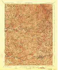
1925 · Centerpoint
USGS Topo · 1:62,500
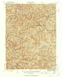
1925 · Vadis
USGS Topo · 1:62,500
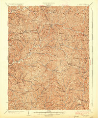
1926 · Holbrook
USGS Topo · 1:62,500