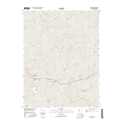
2016 Map of Smithburg
USGS Topo · Published 2016About this map
Middle Island Creek and its many winding tributaries define this portion of Doddridge County, where a series of small settlements are linked by the N Bend Rail Trail. The landscape is densely carved by water, from Little Flint Run in the north to Meathouse Fork in the south, creating a complex network of hollows and ridges like Maxwell Ridge. Along the southern corridor, the General John Craddock Bridge stands near Smithburg, marking a key crossing point in a region characterized by small-scale agriculture and rural connectivity.
Find a feature on this map
102 named features on this map. Tap any name to fly to it.
Don’t see what you’re looking for? This feature index may not catch every label — zoom into the map to look around manually.
Map Details
Editions of this 2016 Smithburg Map
This is the sole edition of this map. No revisions or reprints were ever made.
Other maps of this area

1904 · Vadis
USGS Topo · 1:62,500

1905 · Centerpoint
USGS Topo · 1:62,500

1905 · West Union
USGS Topo · 1:62,500

1906 · Holbrook
USGS Topo · 1:62,500

1924 · Centerpoint
USGS Topo · 1:62,500

1924 · West Union
USGS Topo · 1:62,500

1924 · Holbrook
USGS Topo · 1:62,500

1925 · Centerpoint
USGS Topo · 1:62,500

1925 · Vadis
USGS Topo · 1:62,500

1926 · Holbrook
USGS Topo · 1:62,500