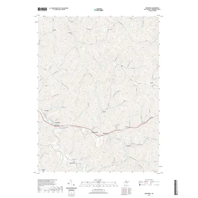
2019 Map of Smithburg
USGS Topo · Published 2019About this map
Smithburg and the surrounding Doddridge County hollows are defined by a complex network of narrow runs and ridges, where the Middle Island Creek valley provides a primary corridor for transportation. The N Bend Rail-Trail follows the path of former rail infrastructure, crossing the creek at the General John Craddock Bridge. This modern survey records a landscape where small settlements like Morgansville, Sherwood, and Blandville are interconnected by numerous county routes that wind through the terrain. Family history is deeply rooted in the land, evidenced by several small burial grounds such as Archbold Cem, Blandville Cem, and Wolverton Cem. The drainage pattern of Morgans Run and Flint Run illustrates the typical Appalachian plateau dissection, where nearly every hollow bears a specific name like Poverty Run or Jockeycamp Run, reflecting generations of local habitation and land use.
Find a feature on this map
102 named features on this map. Tap any name to fly to it.
Don’t see what you’re looking for? This feature index may not catch every label — zoom into the map to look around manually.
Map Details
Editions of this 2019 Smithburg Map
This is the sole edition of this map. No revisions or reprints were ever made.
Other maps of this area

1904 · Vadis
USGS Topo · 1:62,500

1905 · Centerpoint
USGS Topo · 1:62,500

1905 · West Union
USGS Topo · 1:62,500

1906 · Holbrook
USGS Topo · 1:62,500

1924 · Centerpoint
USGS Topo · 1:62,500

1924 · West Union
USGS Topo · 1:62,500

1924 · Holbrook
USGS Topo · 1:62,500

1925 · Centerpoint
USGS Topo · 1:62,500

1925 · Vadis
USGS Topo · 1:62,500

1926 · Holbrook
USGS Topo · 1:62,500