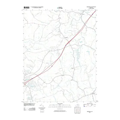
2022 Map of Smithfield
USGS Topo · Published 2022About this map
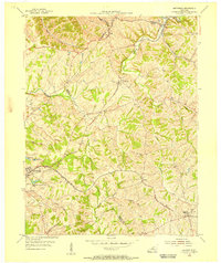
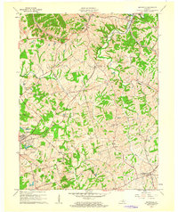
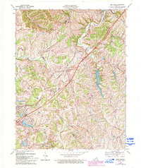
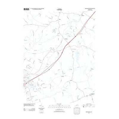
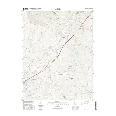
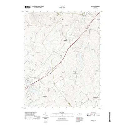
CSX Transportation rails cut a diagonal path across this section of the Kentucky landscape, connecting the rural communities of Pendleton, Jericho, and Smithfield at the turn of the 21st century. The terrain is defined by the winding course of the Little Kentucky River and its numerous tributaries like Jericho Fork and Bartlett Fork, which create a complex network of ridges and hollows. This area, straddling the borders of Henry, Oldham, and Trimble counties, maintains a legacy of small settlements and family plots, as seen in the cluster of burial grounds including Sulphur Cem, Hendronsville Cem, and Valley of Rest Cem.
Find a feature on this map
133 named features on this map. Tap any name to fly to it.
Don’t see what you’re looking for? This feature index may not catch every label — zoom into the map to look around manually.
Map Details
Editions of this 2022 Smithfield Map
This is the sole edition of this map. No revisions or reprints were ever made.
Historical Maps of La Grange Through Time
8 maps found