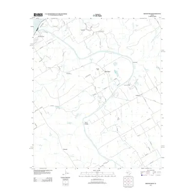
2013 Map of Smiths Bend
USGS Topo · Published 2013About this map
The Brazos River winds in wide, sweeping loops through this central Texas landscape, creating distinct geographic points like the namesake Smiths Bend and Chalk Bluff. In the early 21st century, this area remains a mix of rural riverfront settlements and agricultural land, characterized by the presence of historical community hubs like Lebanon and Greenock. The river’s path is punctuated by local landmarks such as Spivey Crossing and Sosebees Bluff, while the northern reaches include a portion of Lake Whitney and Riverside Park. Local history is preserved in sites like the Smiths Bend Coon Creek Cem and Lebanon Cem, which serve as physical links to the families who established these small riverside communities. The terrain is further defined by several tributaries, including Coon Cr, Cedar Cr, and Sheek Cr, which feed into the primary river channel.
Find a feature on this map
68 named features on this map. Tap any name to fly to it.
Don’t see what you’re looking for? This feature index may not catch every label — zoom into the map to look around manually.
Map Details
Editions of this 2013 Smiths Bend Map
This is the sole edition of this map. No revisions or reprints were ever made.
Other maps of this area

1892 · Waco
USGS Topo · 1:125,000

1920 · Waco
USGS Topo · 1:125,000

1924 · Waco 2-b
USGS Topo · 1:48,000

1931 · Whitney
USGS Topo · 1:62,500

1931 · Valley Mills
USGS Topo · 1:62,500

1931 · Elm Mott
USGS Topo · 1:62,500

1954 · Waco
USGS Topo · 1:250,000

1955 · Waco
USGS Topo · 1:250,000
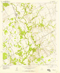
1957 · Aquilla
USGS Topo · 1:24,000
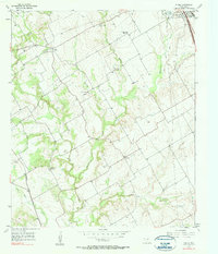
1957 · Peoria
USGS Topo · 1:24,000