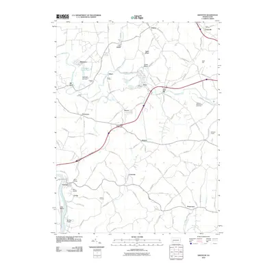
2010 Map of Smithton
USGS Topo · Published 2010About this map
The Youghiogheny River carves through the southwestern corner of this Westmoreland County landscape, anchoring the settlements of Smithton, Jacobs Creek, and Van Meter. This area reflects a deep industrial heritage, clearly evidenced by the Hutchinson Mine Refuse Bank Dam and Delmont Mine Refuse Bank Dam, which speak to the region's coal mining legacy. Smaller communities like Yukon, Waltz Mill, and Wyano are connected by a network of winding roads such as the Pittsburgh Pike and Bells Mills Rd, indicating a settlement pattern shaped by both the winding creek valleys and the higher ground near Bald Hill.
Find a feature on this map
112 named features on this map. Tap any name to fly to it.
Don’t see what you’re looking for? This feature index may not catch every label — zoom into the map to look around manually.
Map Details
Editions of this 2010 Smithton Map
This is the sole edition of this map. No revisions or reprints were ever made.
Other maps of this area

1902 · Brownsville
USGS Topo · 1:62,500

1902 · Connellsville
USGS Topo · 1:62,500

1904 · Mc Keesport
USGS Topo · 1:62,500

1904 · Greensburg
USGS Topo · 1:62,500

1906 · Brownsville
USGS Topo · 1:62,500

1906 · Greensburg
USGS Topo · 1:62,500

1907 · Pittsburg
USGS Topo · 1:62,500

1931 · Brownsville
USGS Topo · 1:62,500

1931 · Connellsville
USGS Topo · 1:62,500

1933 · Brownsville
USGS Topo · 1:62,500